ATLANTA — The Tokyo Olympics were off to a hot and relatively dry start. But developing tropical storm 'Nepartak' may bring heavy rains and gusty winds to the area late Monday and Tuesday.
The forecast from the Japanese Meteorological Agency has the storm nearing Japan's main island 150 to 250 miles north of Tokyo today with maximum winds of 45 miles per hour and higher gusts.

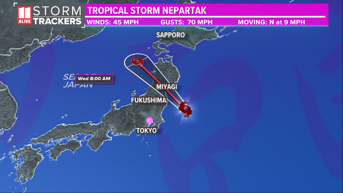
The timeline continues to show a storm approach late today with a landfall tonight or early Wednesday.

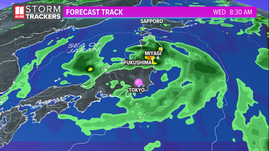
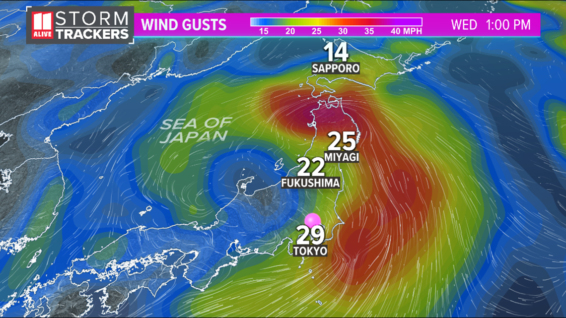
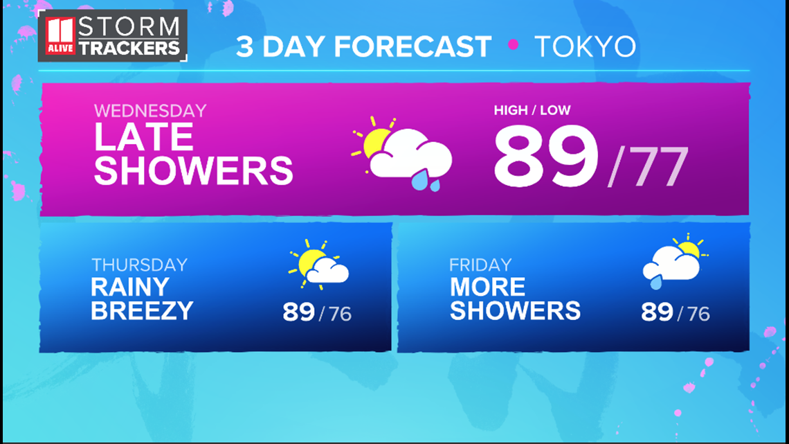
Bands of rain won't just impact near the landfall, but could impact many cities along Japan's main island. If landfall occurs north of Tokyo, this would keep the bulk of the gusty winds north of the city as well. This in the forecast winds for Tuesday. Tokyo's peak gusts would only reach 25 - 30 miles per hour.
Closer to landfall near Miyagi, where the Miyagi Stadium will host women's soccer matches, the winds could reach tropical storm force. Two soccer matches are scheduled for that stadium on Tuesday.

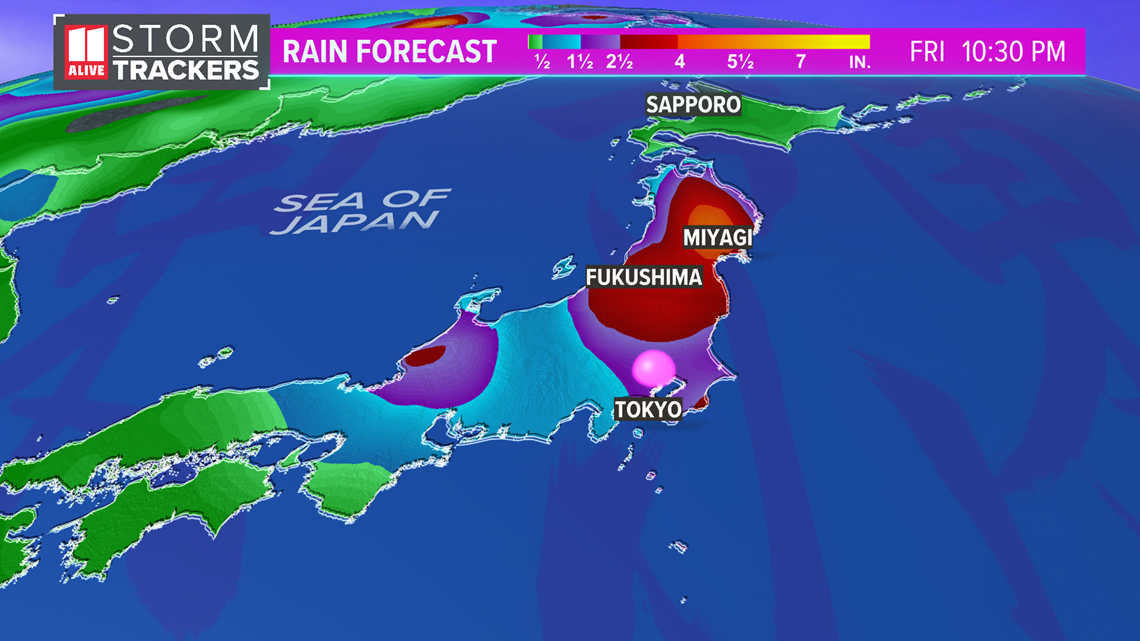
Rainfall near landfall could be 3 to 6 inches. But in Tokyo, just 1 to 2 inches of rain are expected. Some locally higher amounts are possible.

The latest forecast from the Japanese Meteorological Agency has the maximum sustained winds staying below Typhoon strength as it nears land. Nonetheless, some outdoor Olympic events could potentially be impacted today and Wednesday. Tokyo is 13 hours ahead of Atlanta on Eastern Standard Time.

In the Western Pacific Ocean, tropical cyclones are named differently than hurricanes in the Atlantic Ocean Basin. When the maximum sustained winds reach 74 miles per hour the storm is classified as a Typhoon. This is the equivalent of a hurricane in the Atlantic.
Typhoon Season in Japan is similar to our Hurricane Season with it beginning at the start of summer and ending mid-fall. In Japan, the season peaks in August.

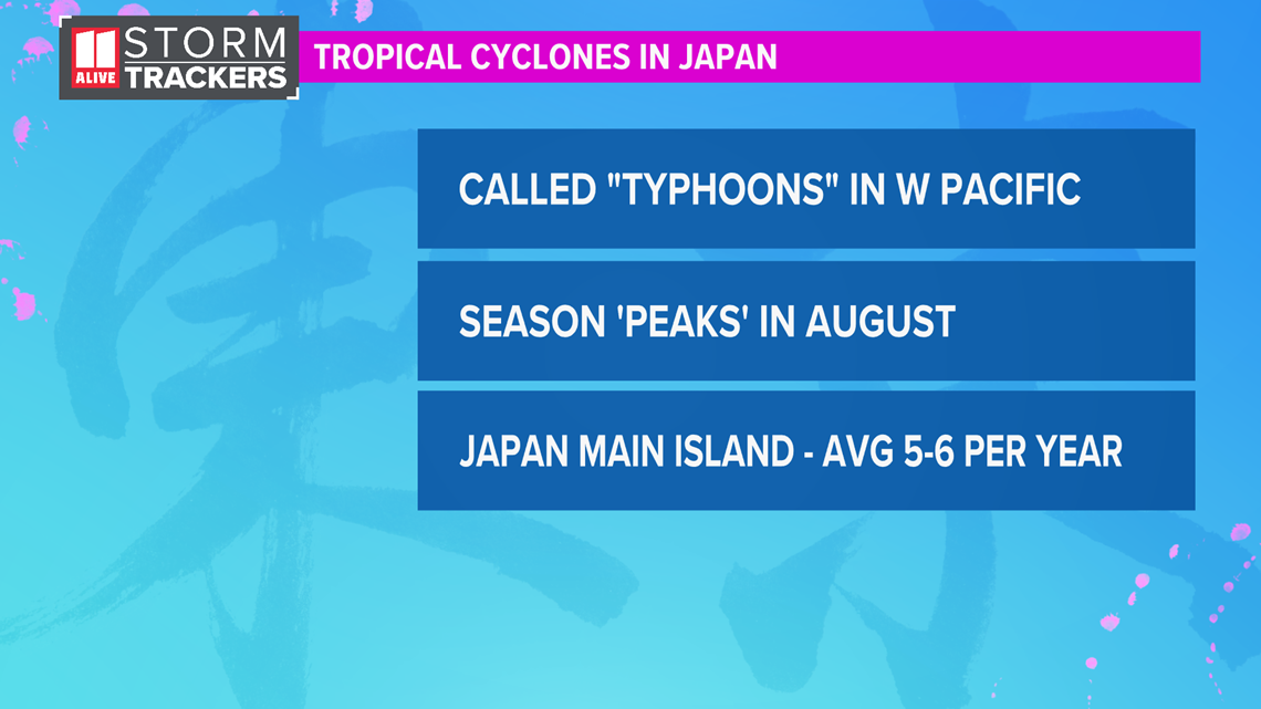
On average, the main island of Japan where Tokyo is located is impacted by 5 to 6 tropical cyclones a season.
In 2019, Super Typhoon Hagibis was the strongest to hit in over decades and brought over 30 inches of rain to parts of Japan. Some games of the Rugby World Cup had to be cancelled from the strong winds and heavy rains. At its peak, Hagibis had peak wind gusts of 195 miles per hour. It impacted Tokyo with winds of 115 miles per hour, equivalent of a Category 3 hurricane.


