CLEVELAND — Still raining. Still windy. Still gross.
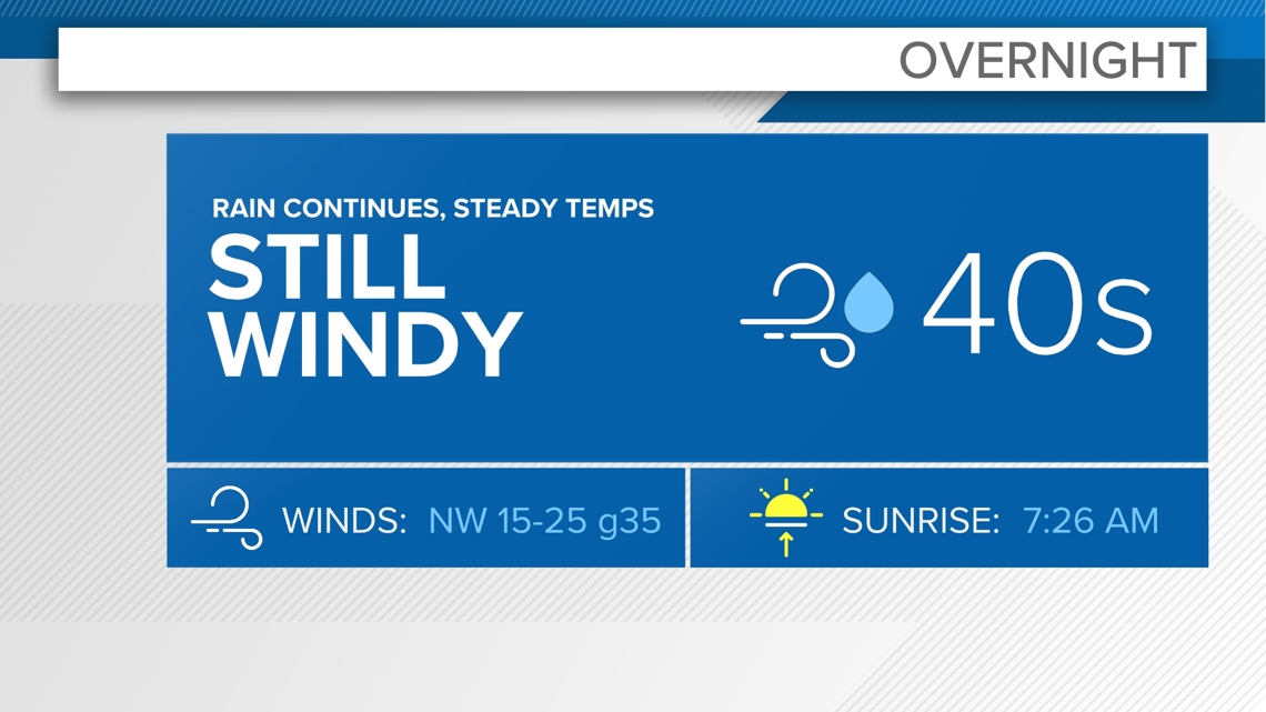
Friday night won't be much different from Friday day.


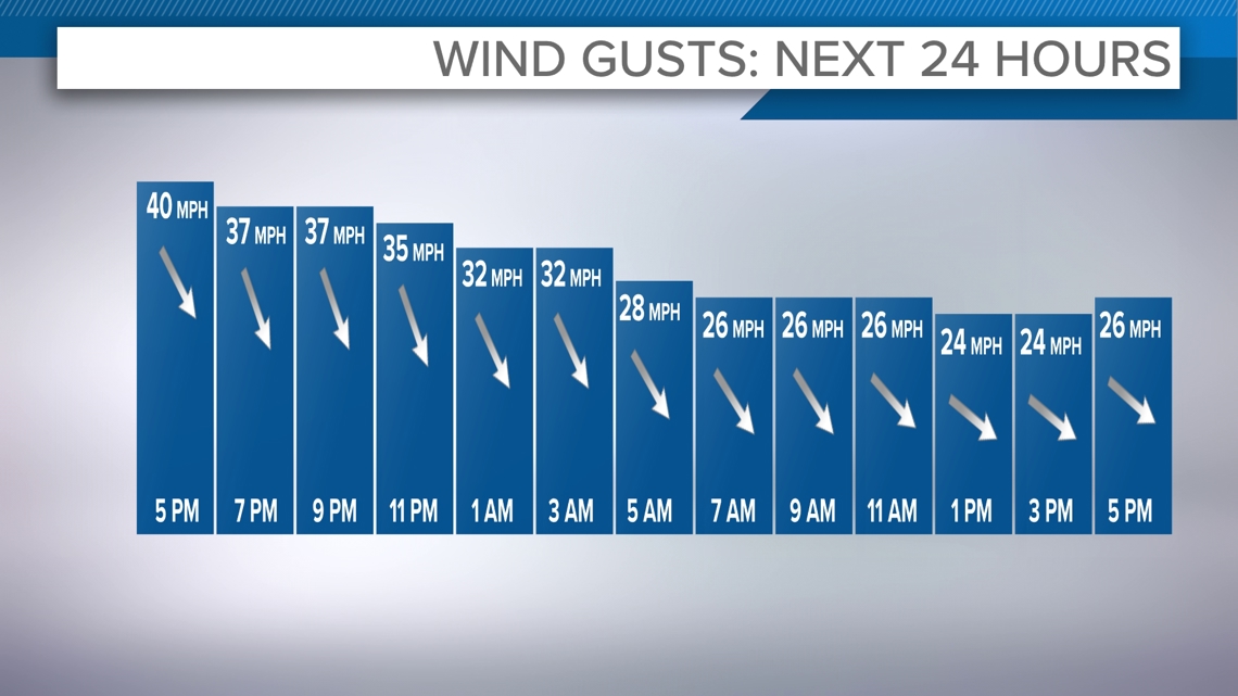
Thankfully the wind speeds will be coming down, albeit slowly.


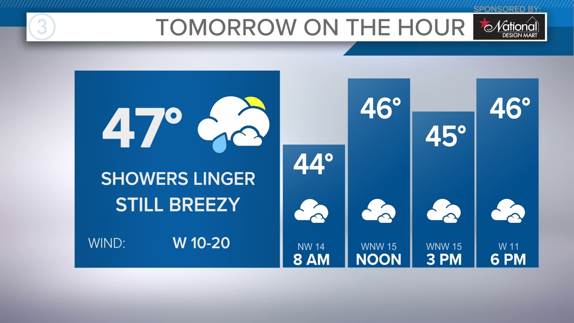
For Saturday we'll likely have a few sprinkles and showers scattered around the area. For the most part it'll be a cloudy day.


Sunday is looking good for us. We might even get a few sun peeks. Temperatures will once again be flirting with 50.
Monday we have some rain moving in and that is the kick off of what is looking like yet another very busy weather week.
A new storm system will be coming together in the Plains Tuesday. Sometime Wednesday into Thursday (Thanksgiving) rain and snow will move in here before much colder behind this system sweeps in for Friday and next weekend. This would likely set up several days of lake effect snow. Timing and track of this storm will still change, so we can't lock anything in yet. Stay tuned!
3-DAY FORECAST
TONIGHT: Rain continues. Still windy. 40s
SATURDAY: Lingering rain showers. Mid to upper 40s
SUNDAY: Mostly cloudy. Near 50
MONDAY: Rain likely. Mid 50s
Here are some quick weather resources you can use:
------------------------------------------------------------------------------
Get more weather from the 3News Weather team of Betsy Kling (@betsykling), Matt Wintz (@WintzWeather), Anthony Copeland (@WeatherManAC), and Jessica Van Meter (@jessicav_wx)
►MORE WEATHER | Get the latest weather headlines, video, photos & more
►ENVIRONMENT NEWS | Find out more about the world around us
►EARTH & SPACE NEWS | Learn more about our planet and outer space
►WEATHER FEATURES | Read our weather guides, storm reports & more
MORE WEATHER-RELATED HEADLINES:

