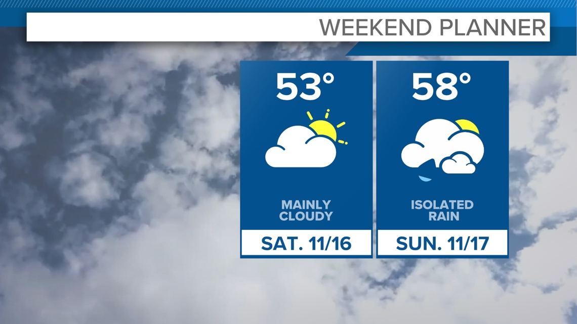
CLEVELAND — We welcome in your weekend with more of the same, cloud cover. Despite the dominating cloud cover, a high pressure system try to erode the clouds as we approach sunset. Otherwise, be prepared for a cloudy weekend with highs maintaining in the 50s.


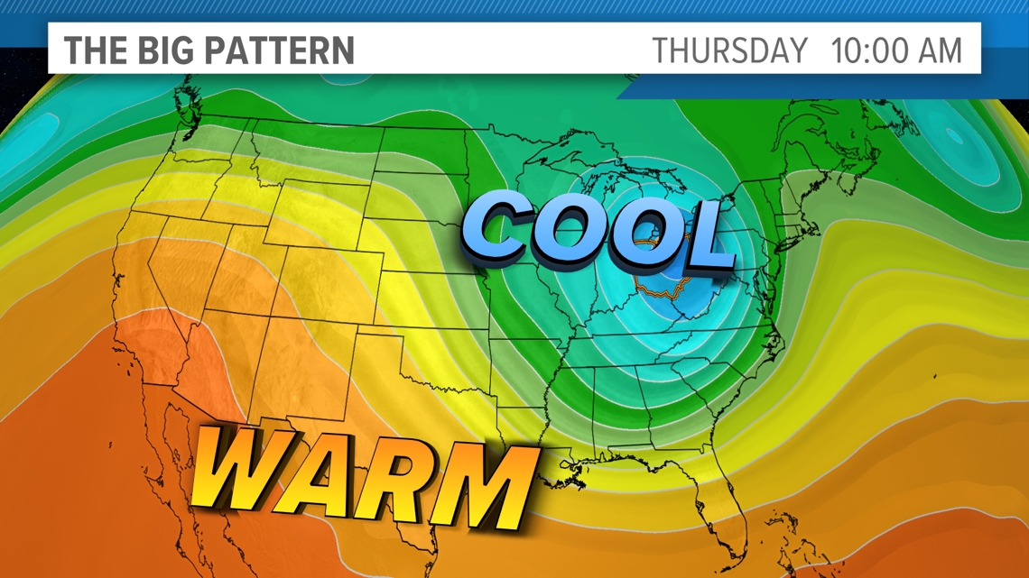
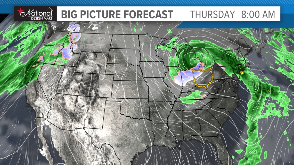
The latest on our well-advertised pattern change later next week is that there's still no agreement on how it evolves exactly. We'll eventually turn colder with the potential for our first snows of the season -- but timing is WAY off between all of the model guidance. The Euro brings in an area of low pressure right over Ohio with a flip to temporary cold next Wednesday as rain mixes with wet snow. The Euro then brings back some warmer air before we get a true shot of cold right around Thanksgiving.
The GFS model brings a more progressive pattern through with an area of low pressure dragging cold air in here for late next week into next weekend. It has the lake effect snow machine going next weekend as well. As a result, it's still too early to talk details on how our pattern change evolves, but we'll continue to update you on the latest once we have some consensus!


3-DAY FORECAST
SATURDAY: Lingering clouds. Some sun peeks. Low 50s.
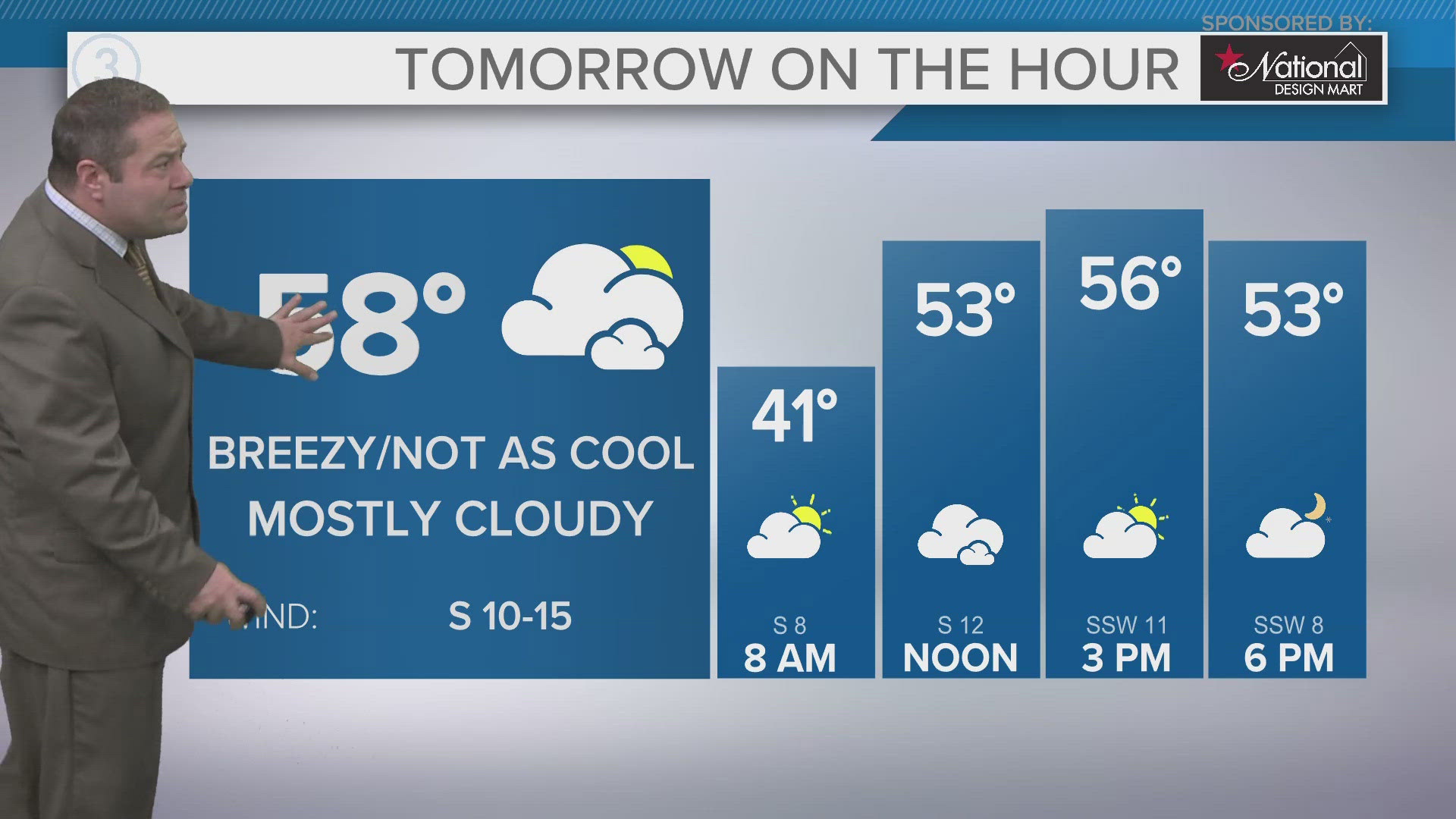
SUNDAY: Mostly cloudy. A bit warmer. Upper 50s.
MONDAY: Rain early, some clouds. Mid 50s
Here are some quick weather resources you can use:
------------------------------------------------------------------------------
Get more weather from the 3News Weather team of Betsy Kling (@betsykling), Matt Wintz (@WintzWeather), Anthony Copeland (@WeatherManAC), and Jessica Van Meter (@jessicav_wx)
►MORE WEATHER | Get the latest weather headlines, video, photos & more
►ENVIRONMENT NEWS | Find out more about the world around us
►EARTH & SPACE NEWS | Learn more about our planet and outer space
►WEATHER FEATURES | Read our weather guides, storm reports & more
MORE WEATHER-RELATED HEADLINES:

