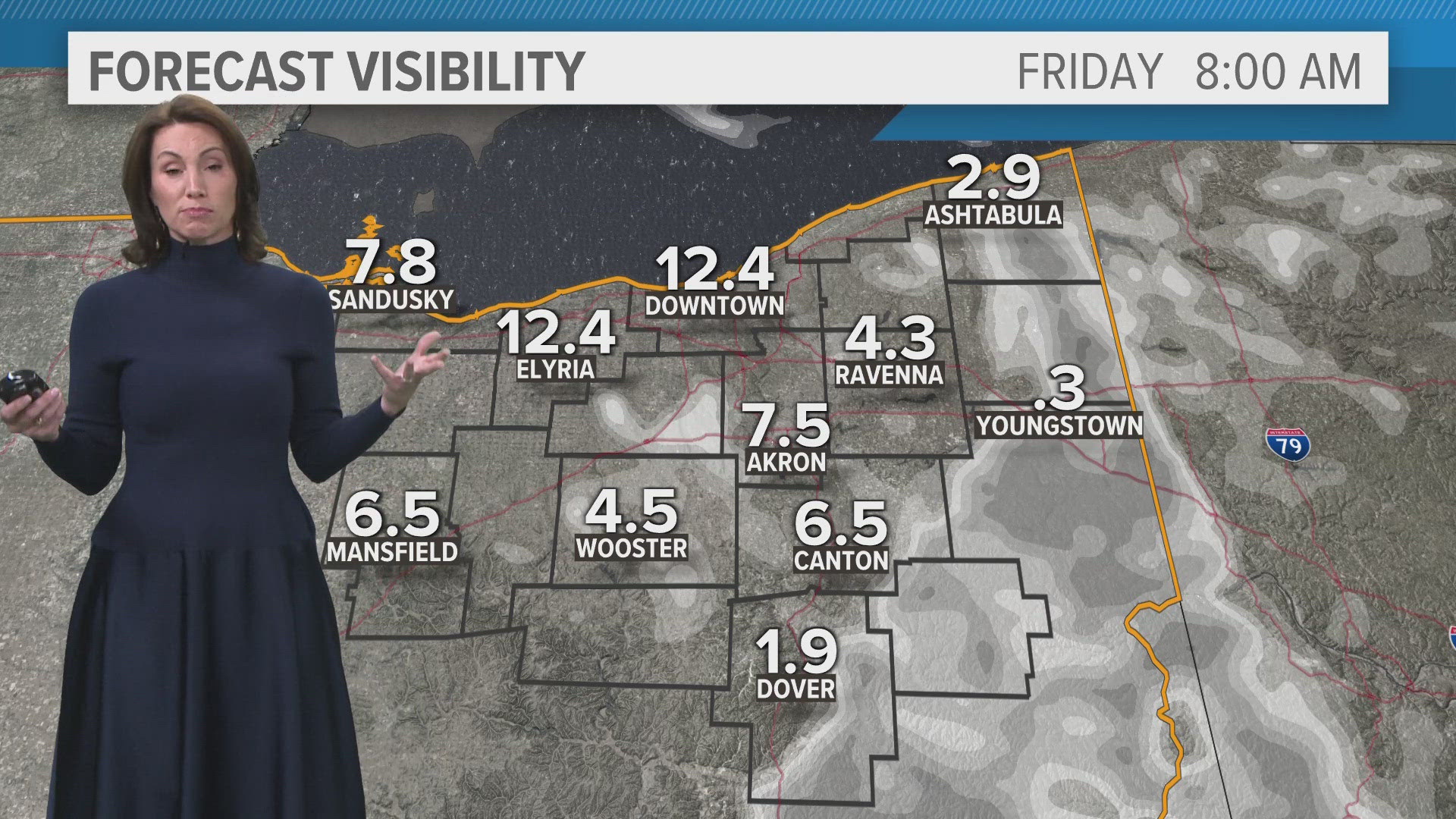
CLEVELAND — The north winds will be blowing for your Friday, luckily not as strong. Be prepared for another grey day across Northeast Ohio. The north winds will develop more cloud cover along with a few lake effect showers.

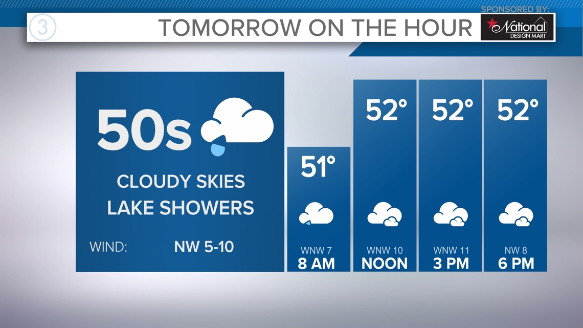
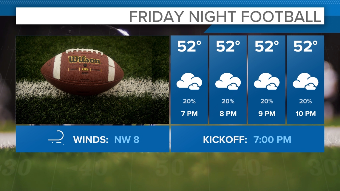
Have the umbrellas just in case but the shower threat will remain isolated and brief at best. Overcast conditions will linger into your Friday night with temperatures in the 50s.

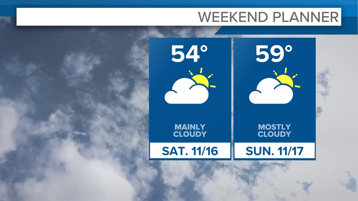
The weekend looks dry at this point with leftover clouds Saturday and another fairly cloudy day Sunday. We should push into the upper 50s Sunday. Cloud season is here!

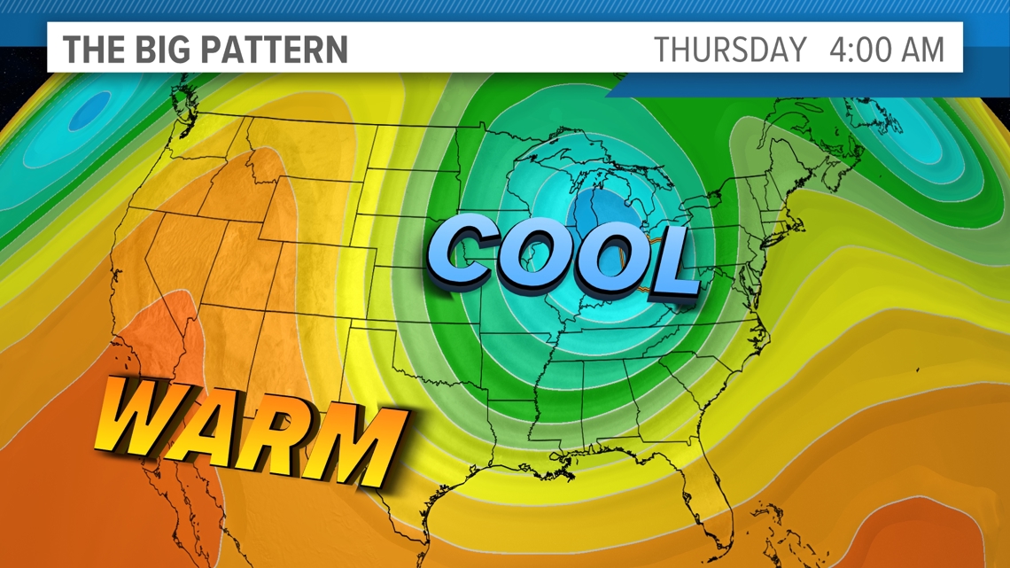
Looking long-term, a bigger pattern change looks to take place next week, which looks to bring us a colder and potentially snowier Thanksgiving week. A series of low pressure systems will move through the central and northern Plains, dragging a large pool of cold air into the center of the U.S.
It will only be a matter of time before this all moves east. Still too early to tell, but there is some indication we get our first true shot of cold air and even lake snow chances later next week. LOTS of time to track this pattern change, but we're always trying to keep you ahead of anything we see! Stay tuned!

3-DAY FORECAST
TONIGHT: Cloudy skies. Upper 40s
FRIDAY: Lake clouds and showers. Low 50s
SATURDAY: Mostly cloudy to partly cloudy. Mid 50s.
SUNDAY: Mostly cloudy. Upper 50s
Here are some quick weather resources you can use:
------------------------------------------------------------------------------
Get more weather from the 3News Weather team of Betsy Kling (@betsykling), Matt Wintz (@WintzWeather), Anthony Copeland (@WeatherManAC), and Jessica Van Meter (@jessicav_wx)
►MORE WEATHER | Get the latest weather headlines, video, photos & more
►ENVIRONMENT NEWS | Find out more about the world around us
►EARTH & SPACE NEWS | Learn more about our planet and outer space
►WEATHER FEATURES | Read our weather guides, storm reports & more
MORE WEATHER-RELATED HEADLINES:

