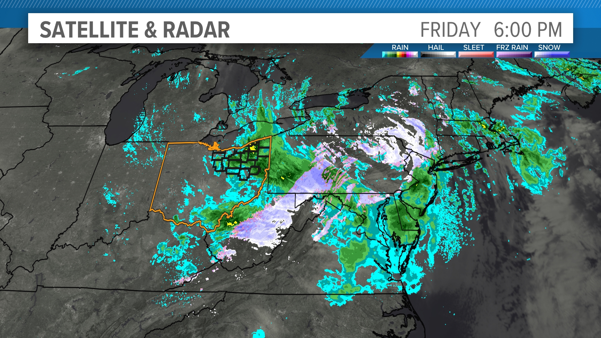
When we look at the weather, radar plays a big role in helping us understand if it's raining or snowing. Here's how it works:
Radar works by sending out radio waves that travel through the air. When these waves hit something, like raindrops or snowflakes, they bounce back to the radar system. The radar then measures how long it takes for the waves to return and how strong the return signal is. This helps meteorologists figure out the size, speed, and even the amount of precipitation (rain, snow, or sleet) in the air.
So, how does it tell rain from snow? It comes down to a few key differences:
Size and Shape of the Particles: Raindrops are much larger and rounder compared to snowflakes, which are usually smaller and have more irregular, crystalline shapes. This difference affects how the radar waves bounce back. Larger, rounder drops reflect more radar waves, creating a stronger signal. Snowflakes, being smaller and lighter, don’t bounce back as strongly.
How the Precipitation Moves: Snowflakes are lighter than raindrops, so they tend to fall more slowly. Radar can track the speed of particles in the air. If the radar detects slower-moving particles, it’s more likely to be snow.
Temperature and Location: Radar can also use temperature data to help distinguish between rain and snow. If the air is below freezing, precipitation is more likely to be snow, but if it's above freezing, the radar will often detect rain.
Another quick trick is to use the radar's correlation coefficient data. Here's a quick primer of how to find where the snow is changing to rain as it is falling through the atmosphere.

