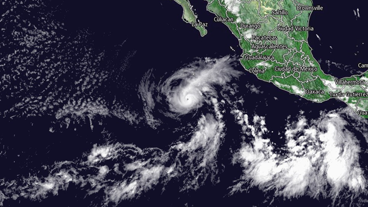
MEXICO CITY — The U.S. National Hurricane Center says Aletta is centered about 505 miles (815 kilometers) west-southwest of Manzanillo, Mexico. The storm has maximum sustained winds of 140 mph (220 kph) and is moving toward the west-northwest at 5 mph (7 kph).
The center said Friday morning that swells generated by Aletta will begin to affect portions of mainland Mexico and the west coast of Baja California Sur later in the day.
The hurricane is forecast to move roughly parallel to the Mexican coast for several days and then head farther out into the Pacific Ocean.
PROJECTED PATH:

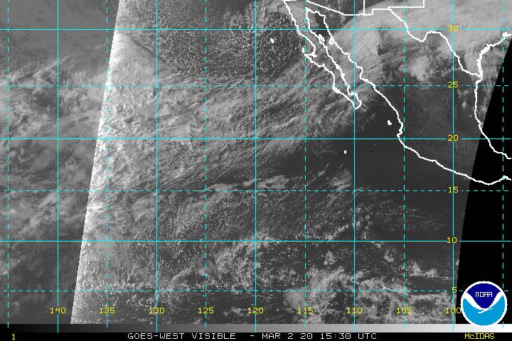
LATEST SATELLITE IMAGE: