
CLEVELAND — The National Weather Service has issued a Severe Thunderstorm Watch for several counties in Northeast Ohio through 8 p.m. Wednesday evening.
Portions of the following counties included in the Watch area:
- Mahoning
- Portage
- Stark
- Summit
- Trumbull
- Tuscarawas
- Wayne
The high winds from today's storms have left thousands of FirstEnergy customers without power. As of 5:45 p.m., there are 2,906 outages reported in Summit County and an additional 917 in Portage County.
Earlier this afternoon, the National Weather Service issued a Severe Thunderstorm Warning for parts of Summit, Stark, and Portage Counties through 2:15 p.m. Wednesday afternoon.
The areas in the Warning zone included southern Portage County, northeastern Stark County, and southern Summit County. Those in the affected areas may have experienced 60 mph wind gusts and penny size hail. Damage to trees and power lines was also possible.
Meteorologist Matt Wintz provided an update on today's severe weather on Facebook Live. You can watch his report below:
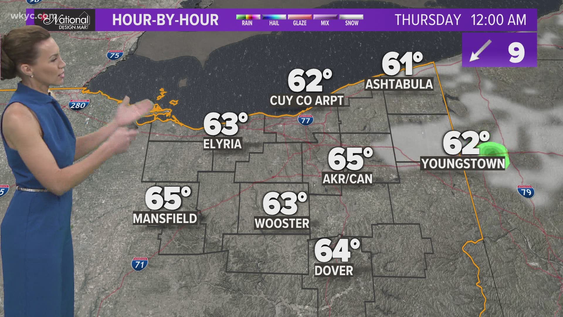
The 3News Weather Team says today's storms are a product of a cold front moving in throughout the area this afternoon. Highs will reach the low 80s today before the cool air settles in for several days.
Just to give you some perspective, highs will be stuck in the 60s -- and even the upper 50s -- for Thursday, Friday and Saturday. The humidity will be dropping as well.
More Headlines:
- Lunar Eclipse: What will you see in Ohio?
- Biden doubling spending to prepare for hurricanes, storms
- Biden asks US intel community to investigate COVID-19 origin
- Operation Deja Vu: Cuyahoga County authorities announce 31 arrests in child sex crime investigation
- Akron murder suspect arrested and charged in Summit County
- Ford says electric vehicles to be 40% of global sales by 2030
- Lebanon becomes first city in Ohio to ban abortions