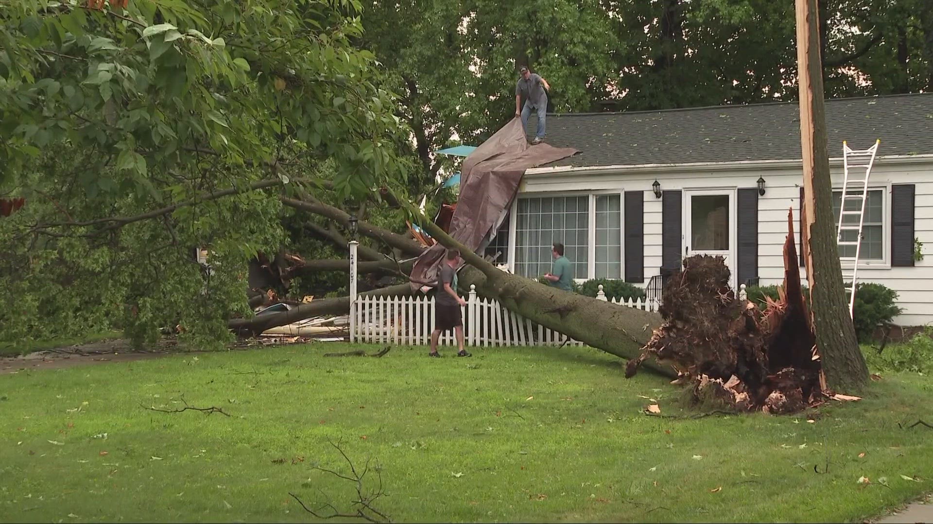
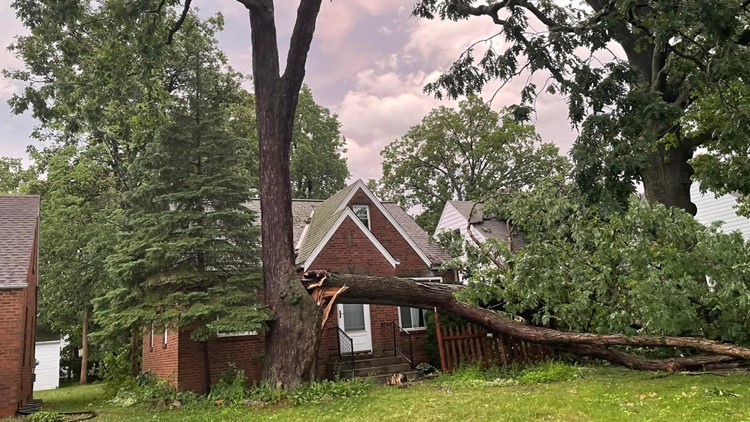
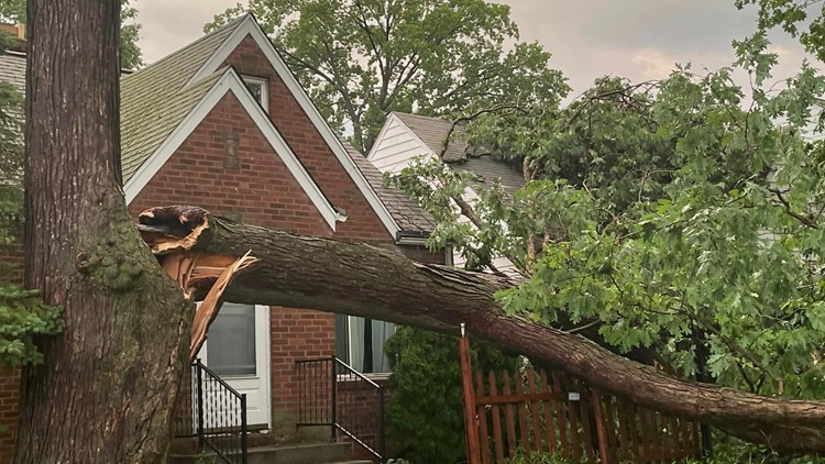
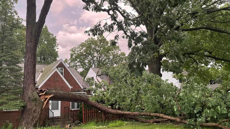
CLEVELAND — Severe storms moved their way through most of Northeast Ohio on Thursday evening, battering the area with high winds, hail, and plenty of rainfall.
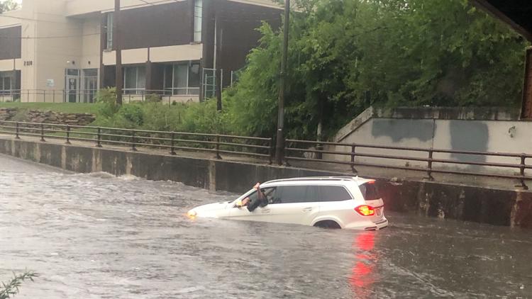
While parts of Medina, Wayne, and Stark Counties were under a tornado warning during the storm, other areas contended with flooding. The central portion of Cuyahoga County was under a flash flood warning for several hours. The high water made for difficult traffic conditions in certain areas.
Our Kaitor Kay captured this video of flooding on I-90 west at McKinley Avenue in Lakewood.
A viewer named Delilah sent us video of flooding on West 117th Street at the Cleveland-Lakewood border.
The Ohio Department of Transportation reports that the ramp from I-480 west to SR 237 south near Cleveland Hopkins International Airport is closed due to flooding. Please avoid the area.
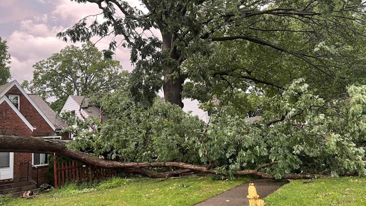
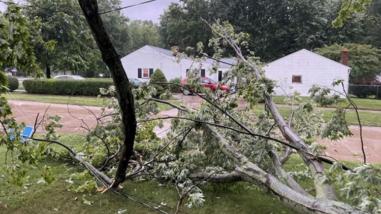
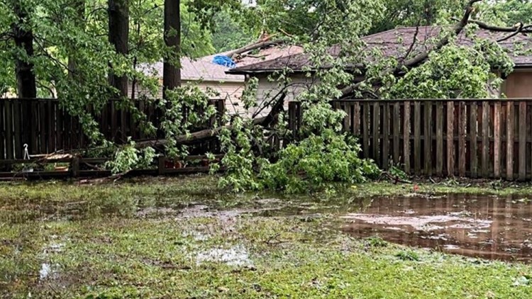
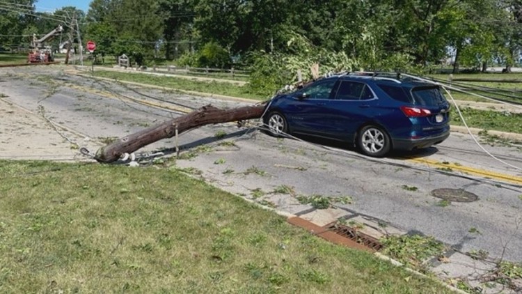
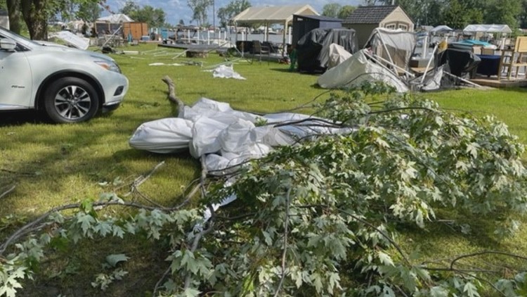
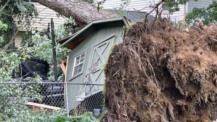
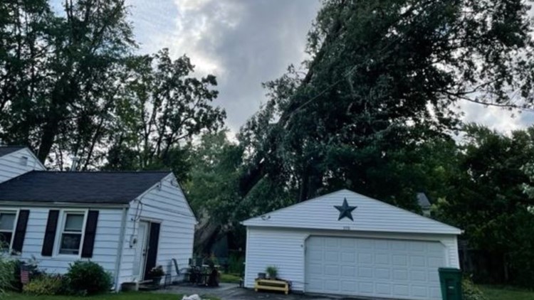
The storm also caused thousands of Northeast Ohio residents to lose power as tree damage and downed lines have been seen all across the area. Check out our photo gallery below.
PHOTOS | Aftermath of storm damage across Northeast Ohio
The good news? After a wild Thursday night full of severe weather coverage, things are finally settling down. According to 3News Chief Meteorologist Betsy Kling, lingering rainfall is expected as the cold front pushes eastward. Temperatures will be cooler on the backside of it all too.
RELATED: FORECAST | Calm after the Storm
Highs Friday only make it into the mid-70s. That's unseasonably cool by nearly ten degrees. The thing about this front is that our humidity levels will also be much lower.
Stay weather ready! Here are some quick weather resources you can use:

