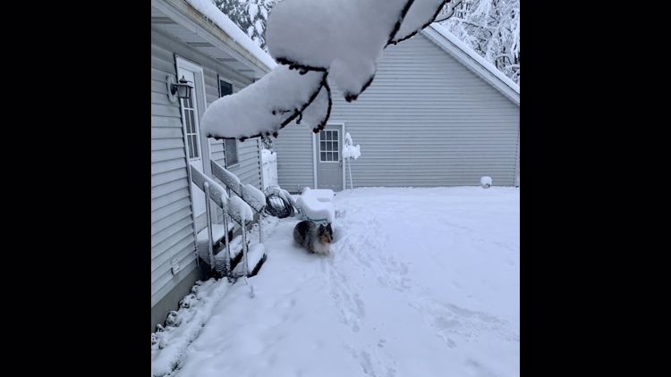
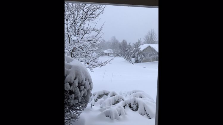
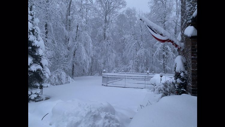
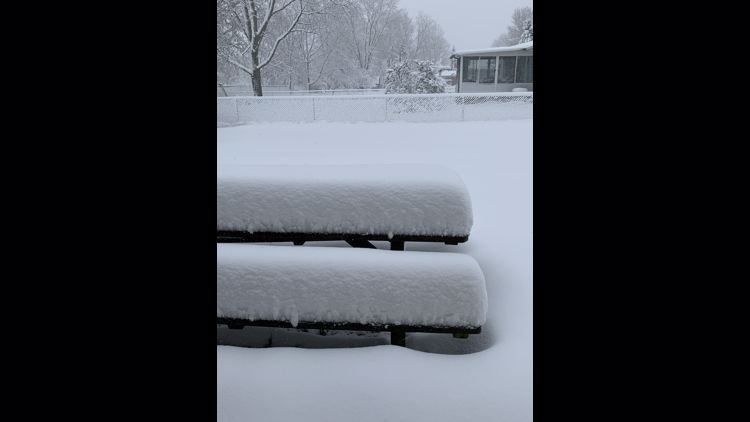
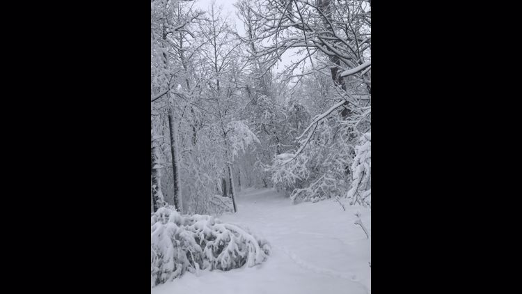
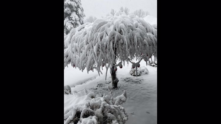
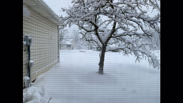
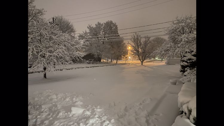
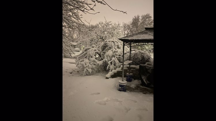
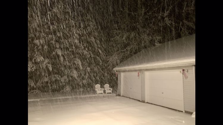
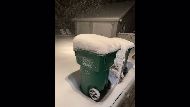
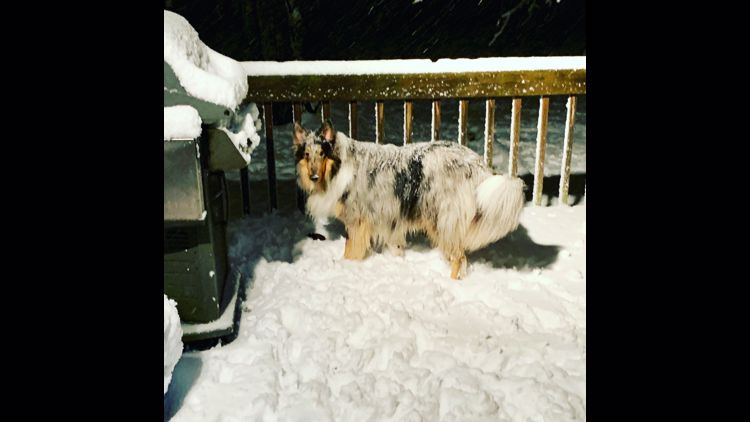
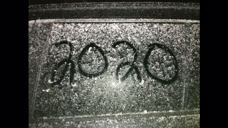
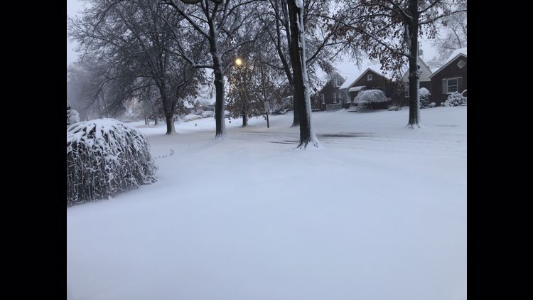
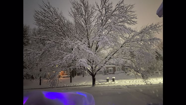
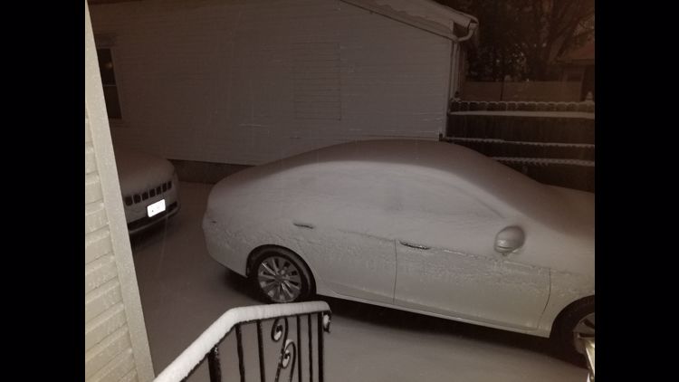
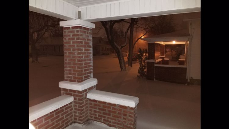
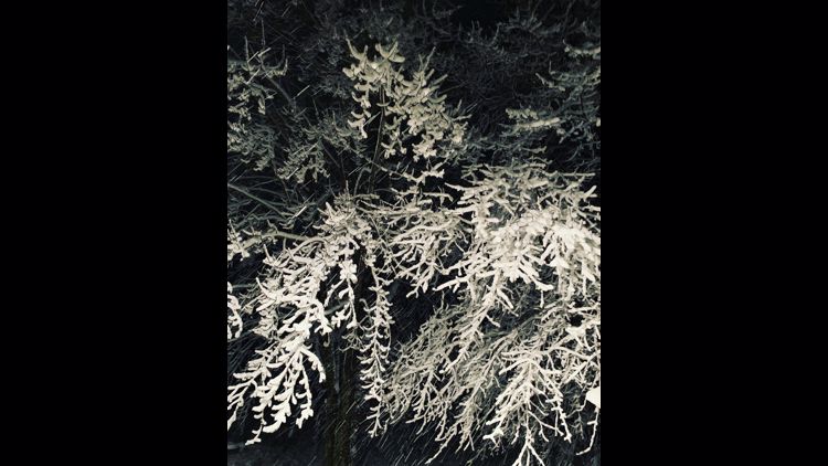
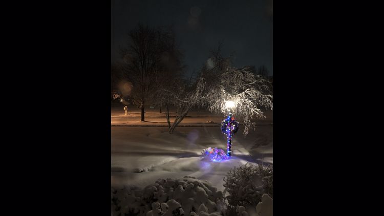
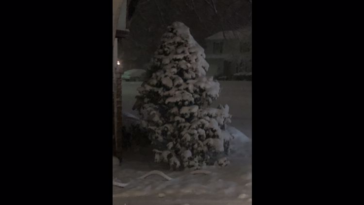
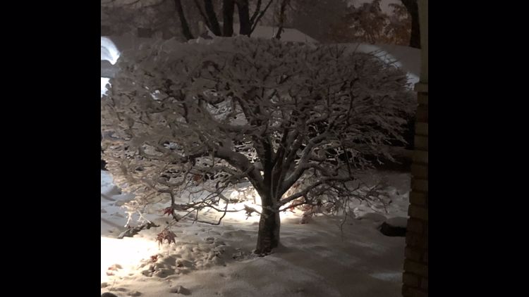
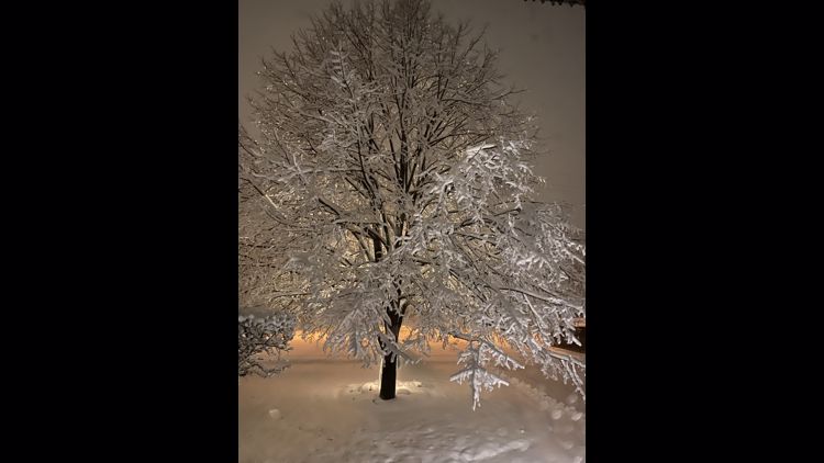
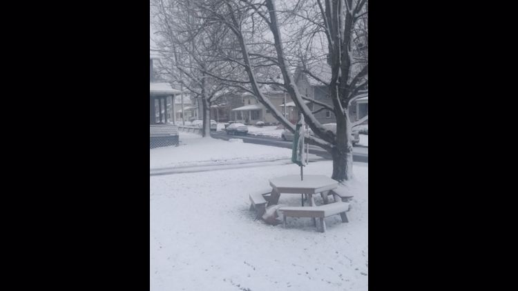
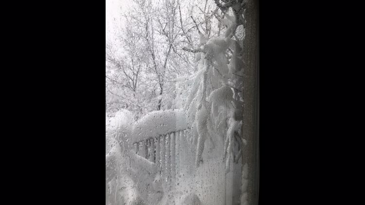
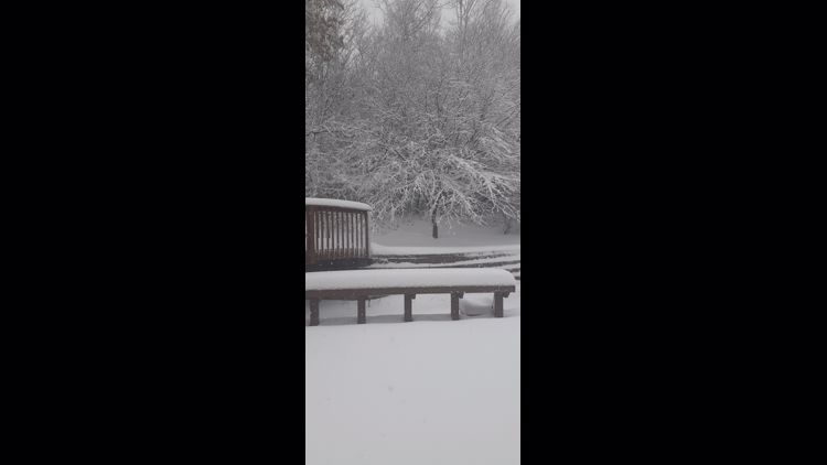
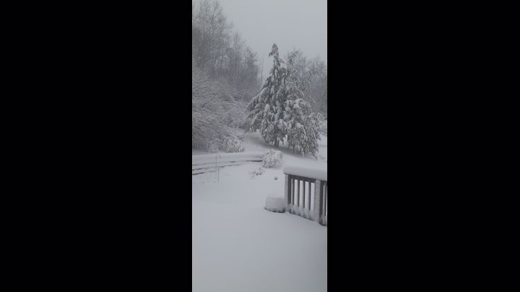
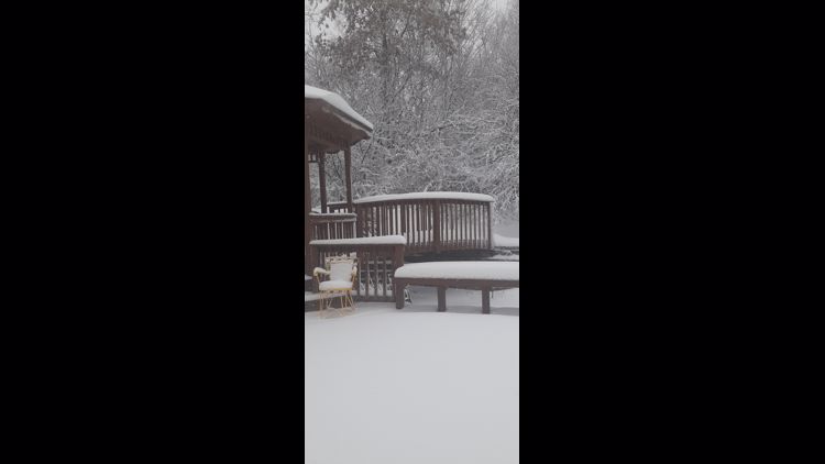
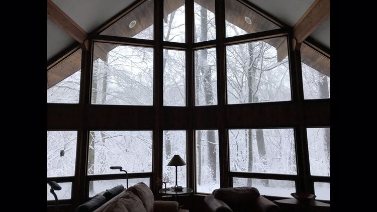
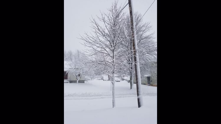
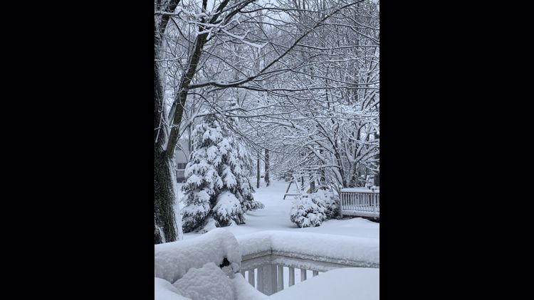
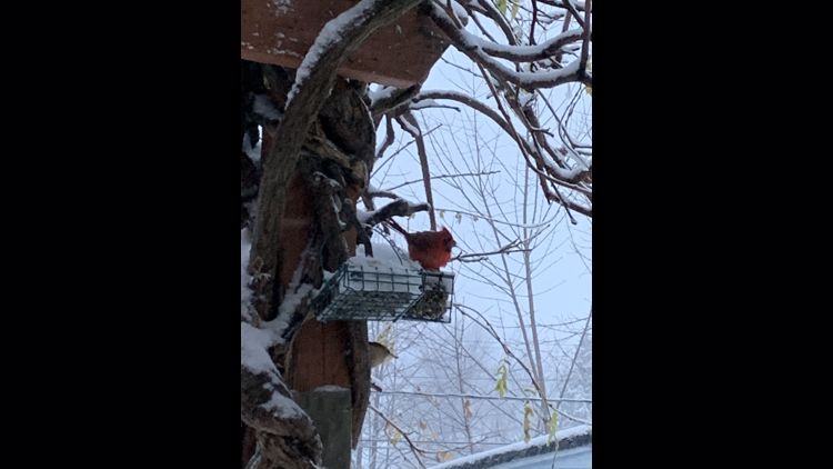
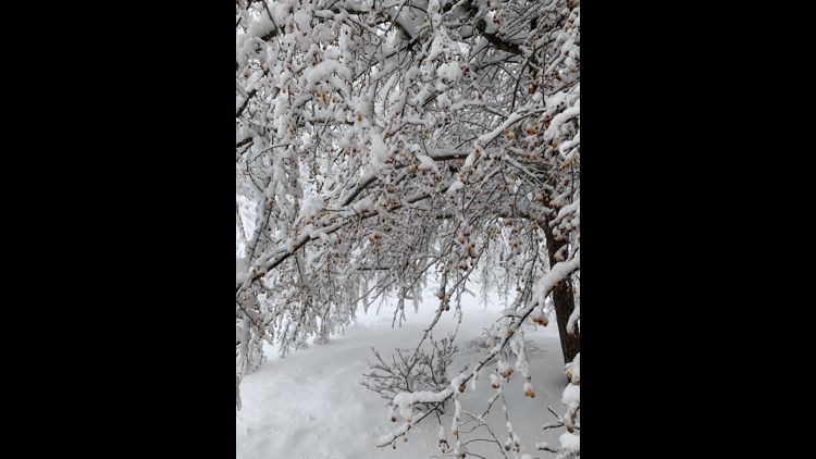
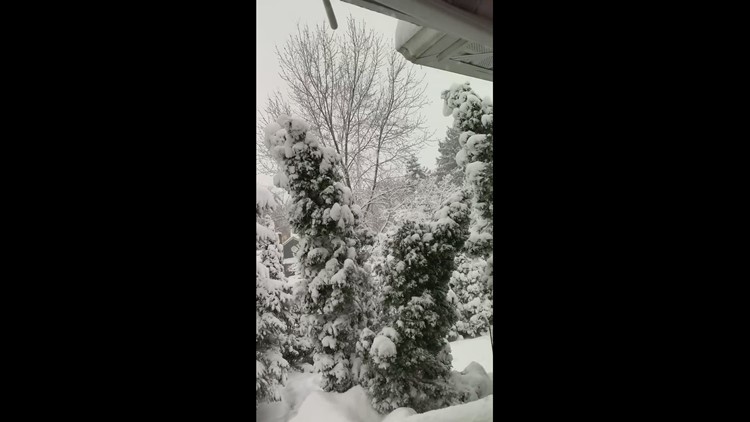
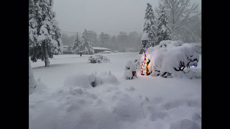
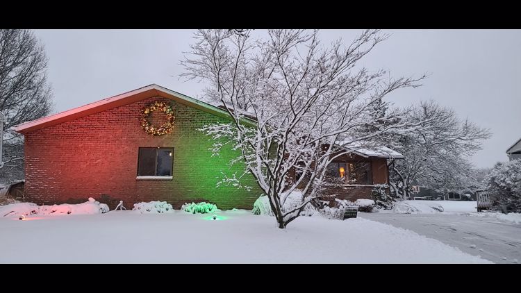
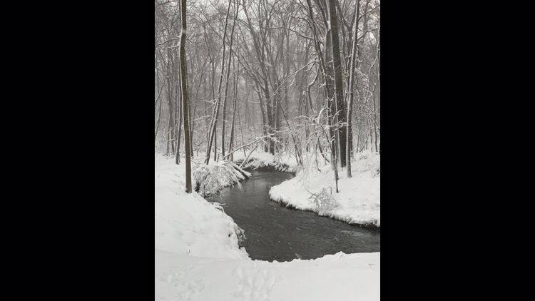
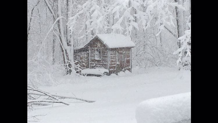
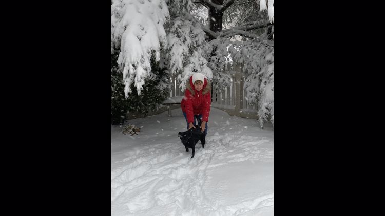
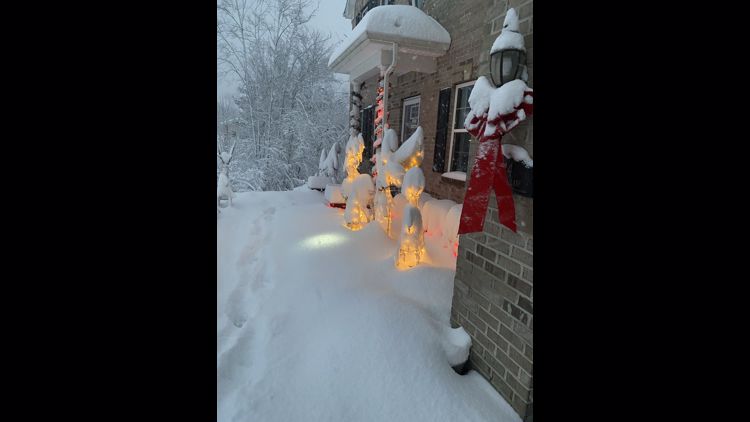
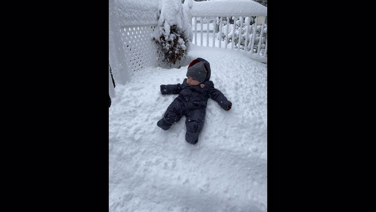
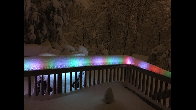
CLEVELAND — Let it snow!
The first impactful snow event of the season has come and gone, but how did the storm evolve?
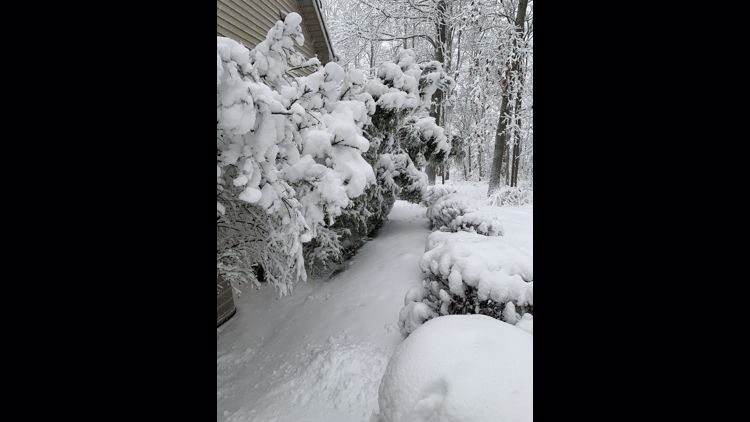
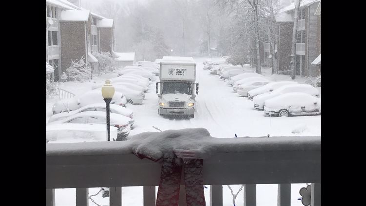
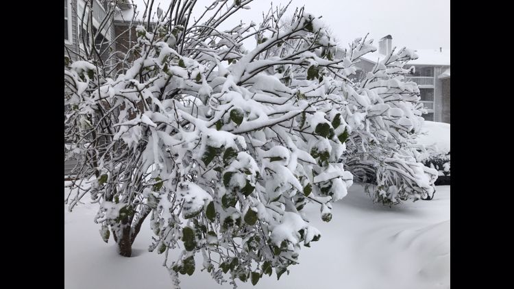
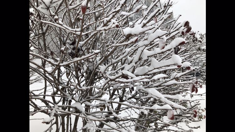
We've put together a time-stamped blog with live updates as they happened. Explore the post below to see pictures, videos and a timeline of the winter weather from Tuesday, Dec. 1, 2020.
- LIVE RADAR | Track the winter storm
- FORECAST | Winter storm play-by-play: what to expect next
- CURRENT WEATHER ALERTS | See how your area is impacted
- iAlert SCHOOL CLOSINGS | See who has called off classes
11:45 p.m. Two last notes before we wrap up Tuesday:
Remember to check our iAlert school closing system to see if your school is keeping its doors closed on Wednesday. Check the iAlert HERE.
And a final check of the night from FirstEnergy shows still more than 51,000 customers are without power in Northeast Ohio, including more than 21,000 in Cuyahoga County. Get the latest outage updates HERE.
11:30 p.m. Here's Betsy Kling's forecast from tonight's edition of What's Next.
10:15 p.m. The power outage situation in Northeast Ohio is getting a little better, according to FirstEnergy. There are 64,359 total outages in the area, including 26,945 in Cuyahoga County. Get the latest outage updates HERE.
10:00 p.m. According to a release from Cuyahoga County, there will be a one-hour delay for those who have to report to work at a County workplace on Wednesday before 10:00 a.m. The hour will allow for extra travel time.
9:17 p.m. Our Chief Meteorologist Betsy Kling has informed us that several winter storm warnings and advisories across the area have now been cancelled. As Betsy says, while the snow has backed off considerably, the wind is still complicating things out there. Be safe.
9:07 p.m. The Middleburg Heights Community Center will remain open for those needing to re-warm and recharge their electronics. Please bring masks, blankets and power cords.
9:00 p.m. Photojournalist Sean Forester sent us this video. Although the snow may soon be winding down, make sure you're allowing the plow crews to do their job.
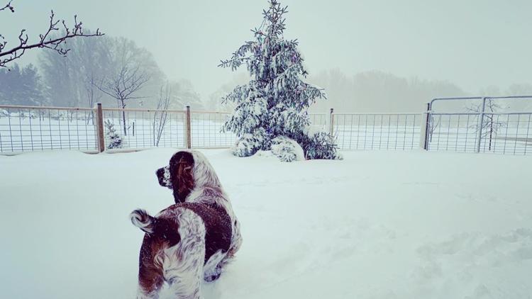
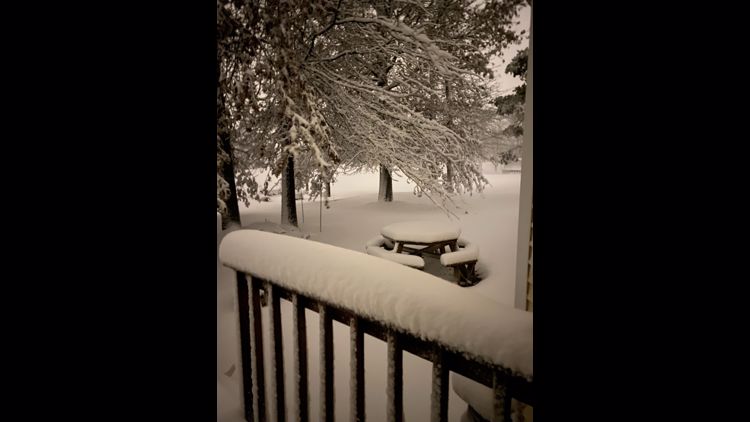
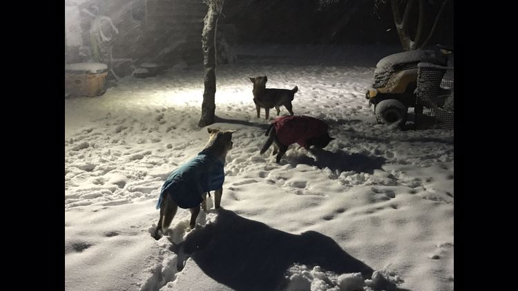
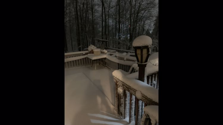
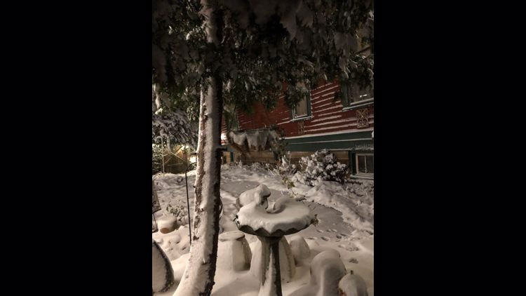
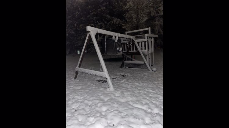
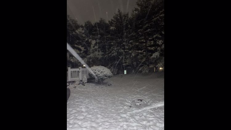
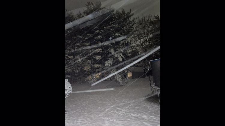
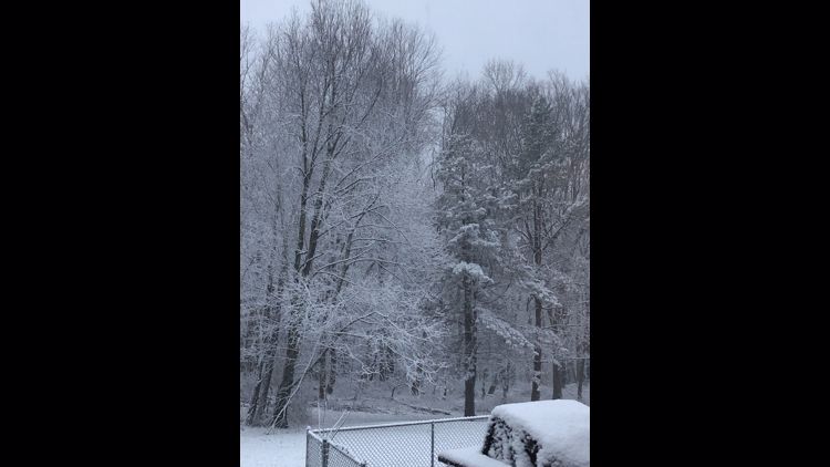
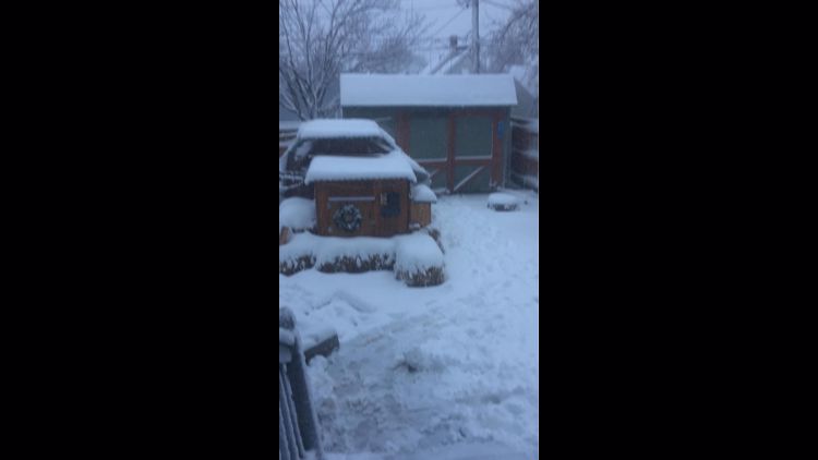
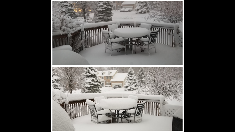
8:20 p.m. Here's what the heavy snow looked like in Dave Chudowsky's backyard!
8:11 p.m. More than 81,000 FirstEnergy customers across Northeast Ohio are still without power. That includes 43,246 in Cuyahoga County. Get the latest outage updates HERE.
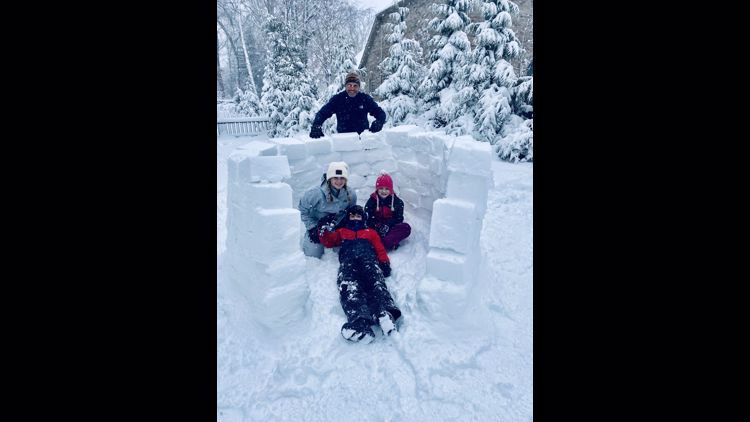
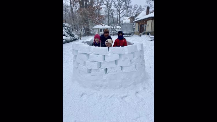
8:02 p.m. We've gotten some more pictures sent to us from you. Remember, in addition to tweeting us, you can text us at 216-344-3300 or upload them through the free WKYC app.
Click here to see our gallery.
Here's some of what you've tweeted us:
8:00 p.m. Here's a look at the roadways of Northeast Ohio from meteorologist Matt Standridge.
7:45 p.m. The Cleveland Public Library has announced that all of its locations will be closed tomorrow, Dec. 2 due to the winter storm and power outages. Drive-up, walk-up, and kids’ meals services at all locations will be suspended during the closure. Visit cpl.org to utilize the library's digital service.
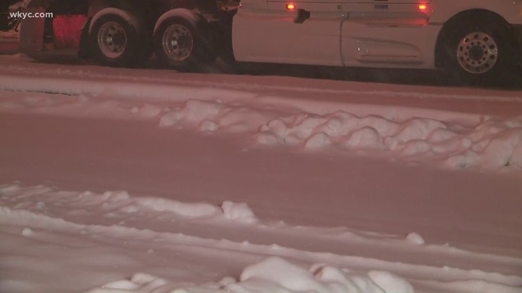
7:15 p.m. Here's the latest from the Ohio Department of Transportation on their efforts to clean up the roadways, including one of their trucks on I-90 in Kirtland.
7:00 p.m. Due to inclement weather, the Parma Heights Senior Center will be closed tomorrow, Wednesday, December 2nd. No lunches or Pantry Boxes will be delivered.
6:30 p.m. Let's get an update on how the storm is progressing with "The Chief" as Betsy Kling checks the radar and the forecast.
6:05 p.m. Photojournalist Dominic Ferrante is in Geauga County and spotted some downed power lines in Chardon.
6:00 p.m. Rachel Polansky is checking in with ODOT for a report on how the plow crews are managing during the storm. 300 plows were working in Northeast Ohio during the peak of the storm.
5:45 p.m. We've gotten some updated power outage numbers from FirstEnergy. More than 86,000 customers across Northeast Ohio are currently without power, including more than 46,000 in Cuyahoga County. You can read more here.
3:45 p.m. The City of Cleveland has issued a parking ban that will take effect at 8 p.m. on Tuesday, and last until 8 a.m. on Wednesday.
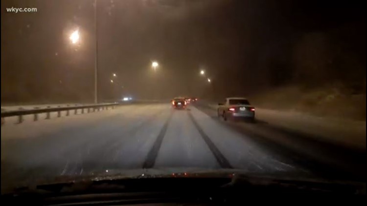
1:19 p.m. A look at snowy road conditions on I-271 at Cedar Road.

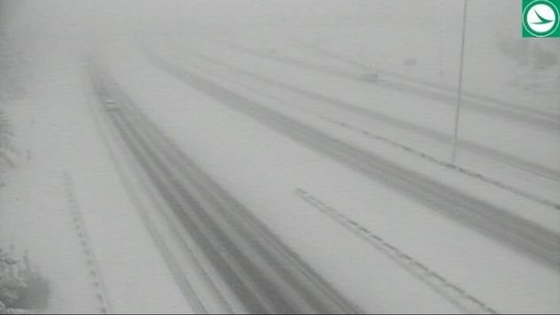
1:13 p.m. Maple Heights officials are urging residents to stay home. "Excessive snow accumulation has made many roads in the area impassable," officials said.
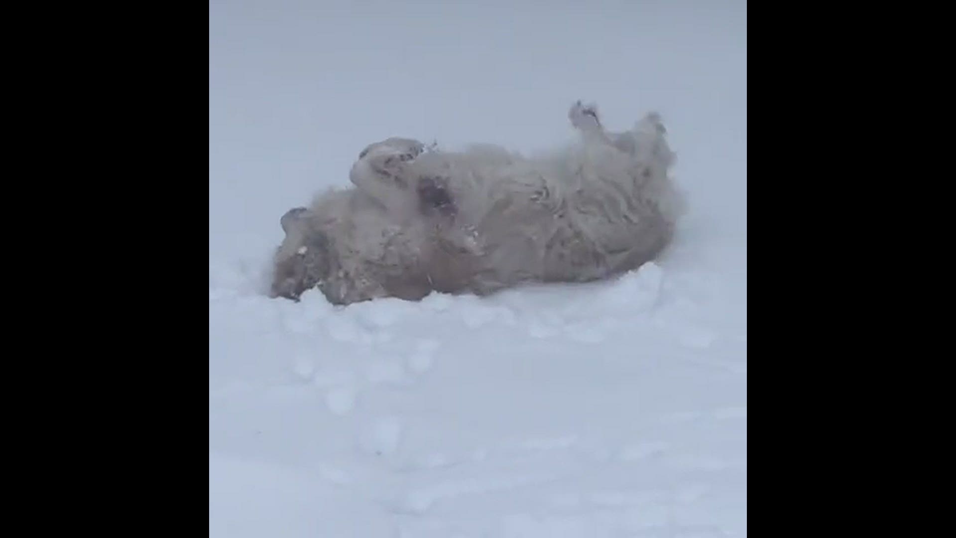
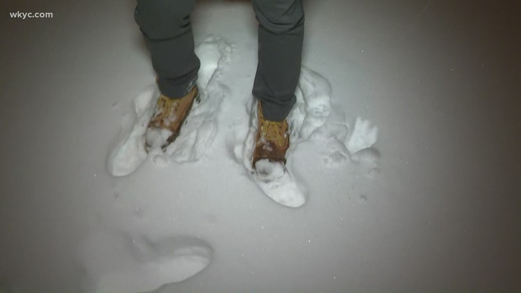
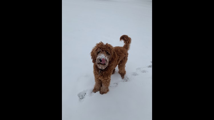
1 p.m. Check out this adorable video of a dog making snow angels in Ashland:
12:51 p.m. It's very tough on some of the roadways:
12:41 p.m. Parma Heights announces an emergency snow parking ban in effect until 8 a.m. Thursday, Dec. 3. Garbage collection will also be delayed one day. See the full list of parking bans HERE.
12:30 p.m. Streets are snow-covered and slick in Broadview Heights:
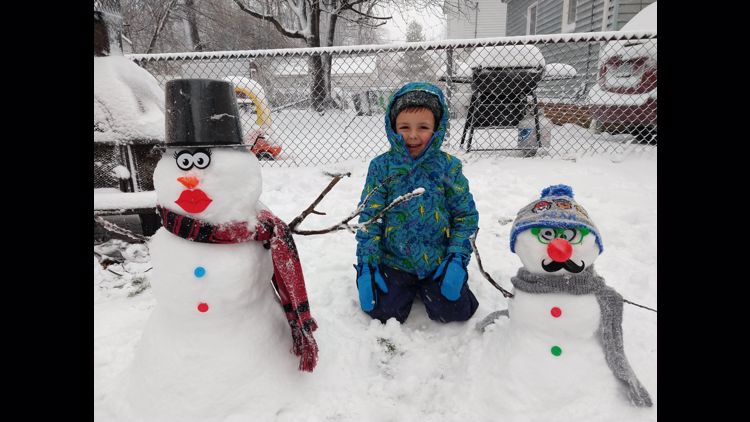
12:01 p.m. Check out this snow pic from Ashtabula:
11:45 a.m. Cleveland State University cancels in-person classes effective at noon.
11:22 a.m. 3News' Rachel Polansky shares a snowy picture from Shaker Heights:
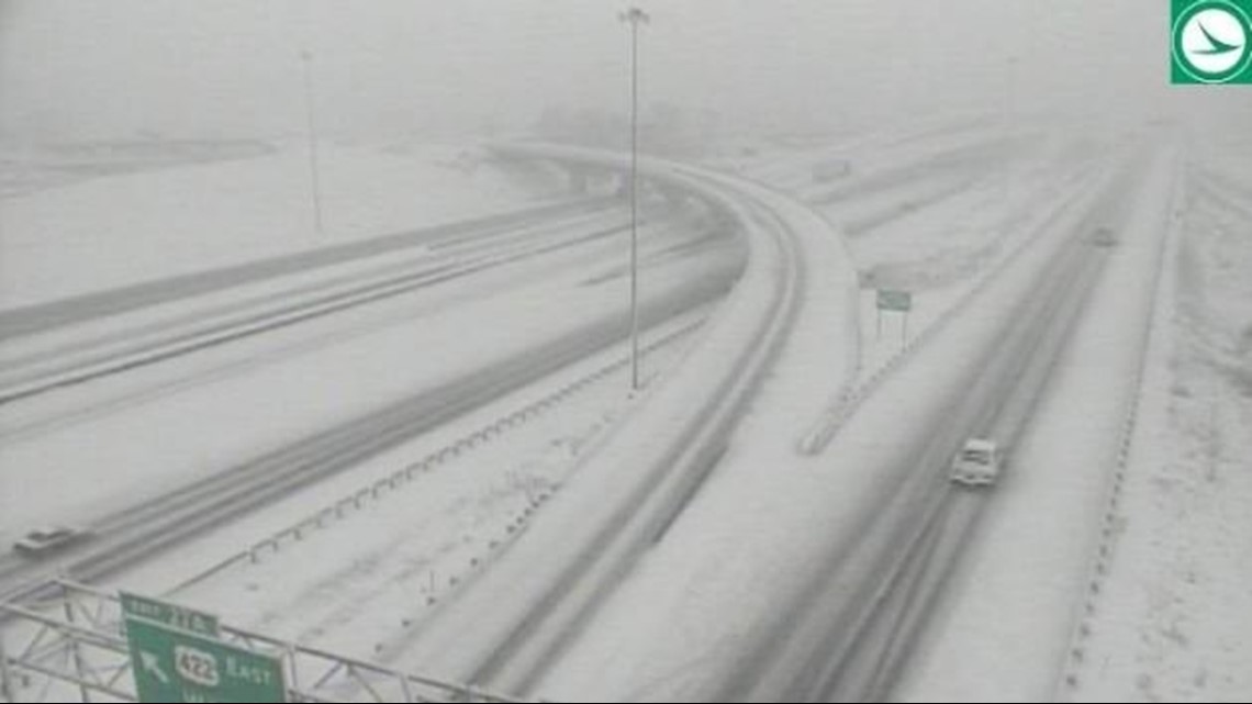
11:11 a.m. Be careful out there! The road conditions are snow-covered in spots right now. Here's a look from I-271 at 422.

11:01 a.m. An update from 3News' chief meteorologist Betsy Kling:
10:59 a.m. Here's a live look at the driving conditions in the Chardon area as snow continues falling:
10:55 a.m. 3News' Matt Wintz just posted this fun photo:
10:33 a.m. And the snow keeps on coming...
9:57 a.m. Here's another live look at the snowy road conditions in Geauga and Cuyahoga counties:
9:48 a.m. The Nagel Road entrance ramp eastbound to I-90 in Avon is currently closed due to a few stuck vehicles -- including a pair of semi trucks. Authorities are uncertain how long it will remain closed.
9:19 a.m. ODOT says I-480 West near Rockside Road is closed due to a crash.
9:09 a.m. The East Cleveland Public Library has announced they will be closed today due to the weather conditions.
9 a.m. 3News' Jason Frazer explains what's next for this winter storm:
8:40 a.m. Check out the snow in Cleveland Heights:
8:32 a.m. 3News' Dave Chudowsky shows his view from snowy downtown Cleveland:
8:15 a.m. Look at that snow:
8:07 a.m. A glimpse of I-71 at Route 82.

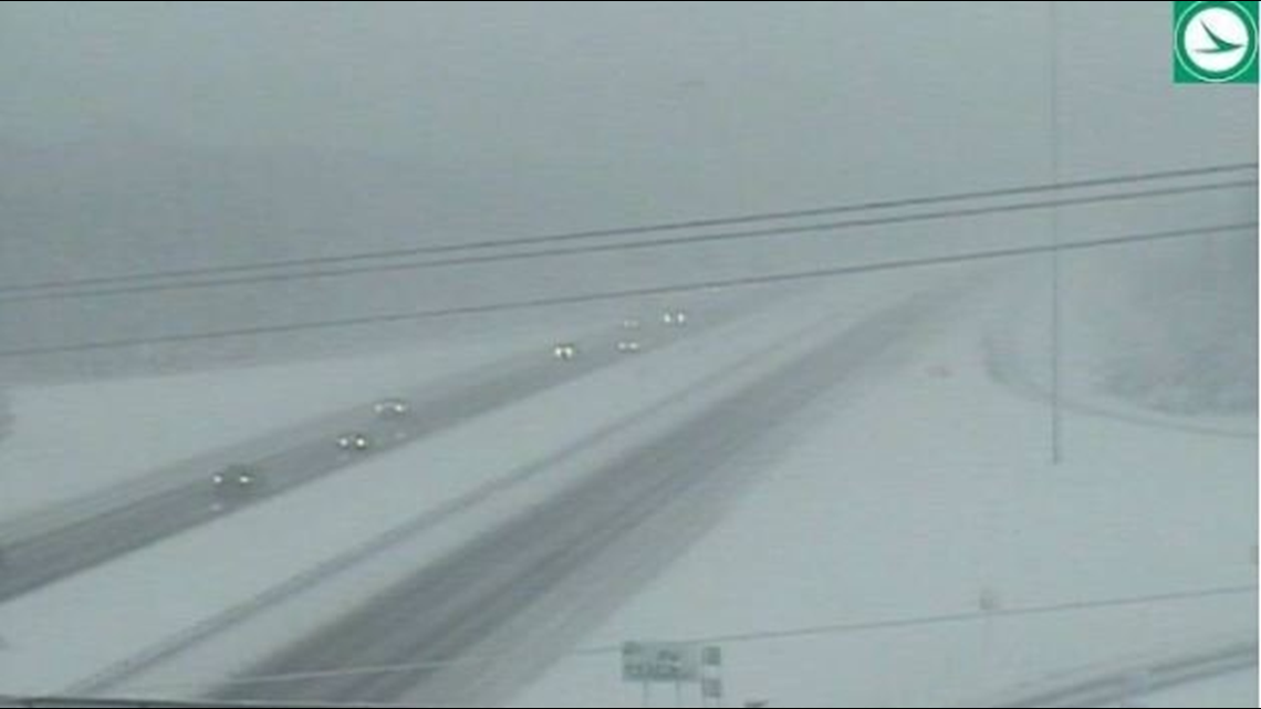
8 a.m. Which side are you on?
7:48 a.m. It has been a tough morning on the roads. 3News' Danielle Wiggins said there are nearly 30 crashes reported throughout Northeast Ohio.
7:45 a.m. Want more snow? Don't worry... We've got it for you:
7:38 a.m. We agree, Austin!
7:33 a.m. Lorain County issues a Level 1 snow emergency. This means that roadways are hazardous. Authorities are asking residents to delay their driving plans until the weather conditions improve.
7:30 a.m. If you love snow, plenty of it will continue to fall across NE Ohio throughout today.
Right now, most of NE Ohio is seeing light to moderate snow fall. This is going to continue to make roads and sidewalks slippery. We are already starting to see winds pick up. We will see wind gusts up to 40 mph per hour which will impact the visibility on streets and highways.
Already there's a lot of snow on the ground. Some unconfirmed snow totals from the National Weather Service are below.
Chardon - 8 inches
North Olmsted - 7 inches
Boston Heights - 5.5 inches
Elyria - 5.3 inches
New London - 5 inches
Cleveland Heights - 4.6 inches
Alliance - 3 inches
Cortland - 2 inches
ODOT also offered a look at their crews on I-71 near Brunswick:
7:05 a.m. 3News' Danielle Wiggins, Jason Frazer and Hollie Strano join forces for team coverage of weather and traffic with the latest on the winter storm:
7:04 a.m. The city of Parma is the latest to issue a parking ban. It's in effect until further notice. See the list of parking bans HERE.
7 a.m. All Cleveland Public Library locations are closed today due to the weather. No curbside or walk-up services will be offered. Officials are encouraging everybody to use their digital services for the time being.
6:45 a.m. ODOT Cleveland shares a look at their view on the roads:
6:30 a.m. We want to see your snow photos! Post them here:
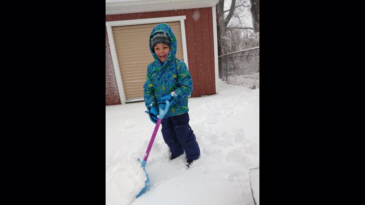
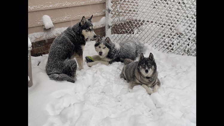
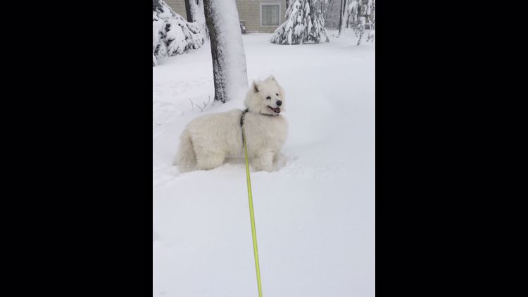
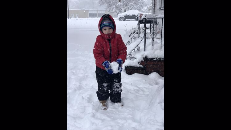
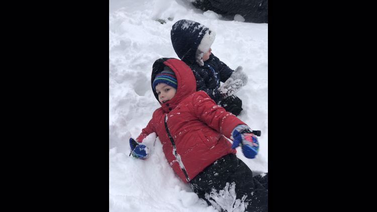
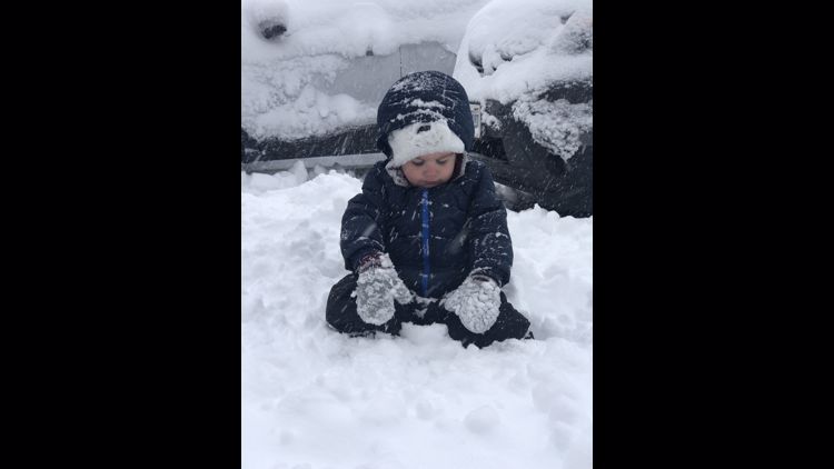
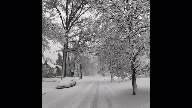
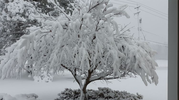
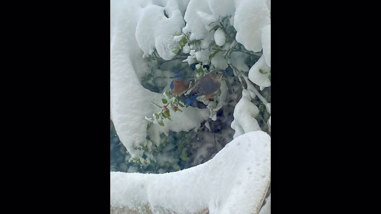
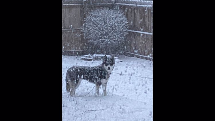
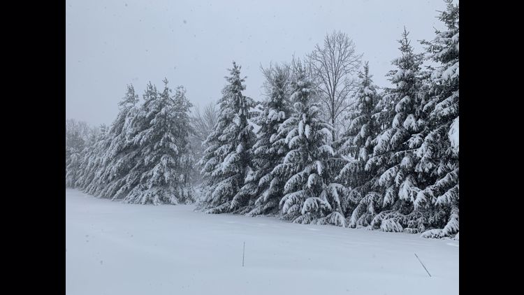
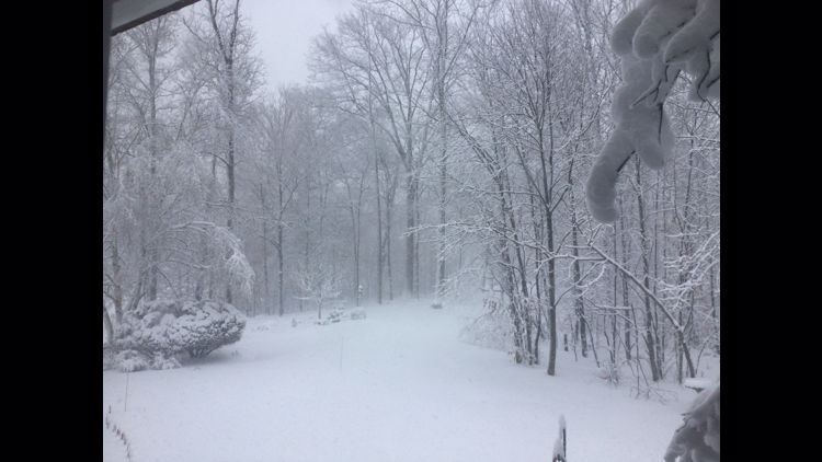
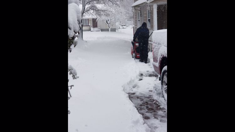
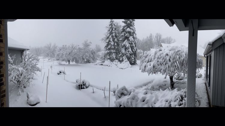
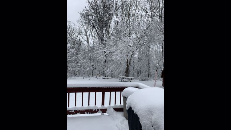
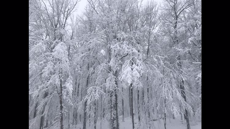
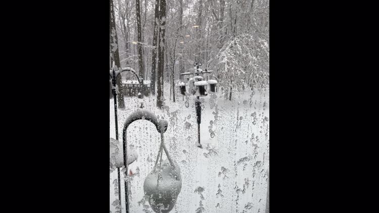
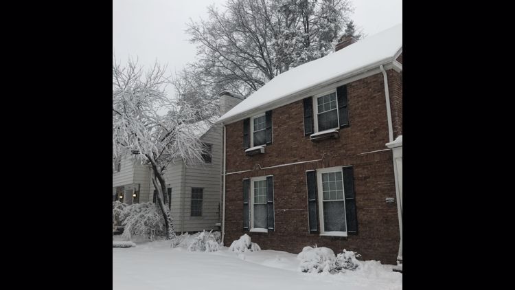
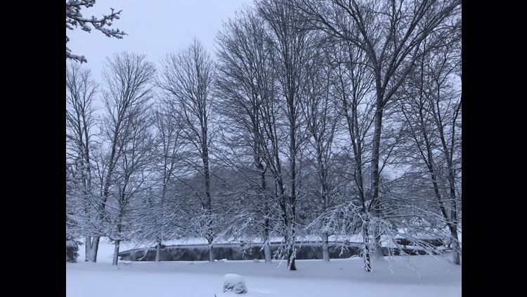
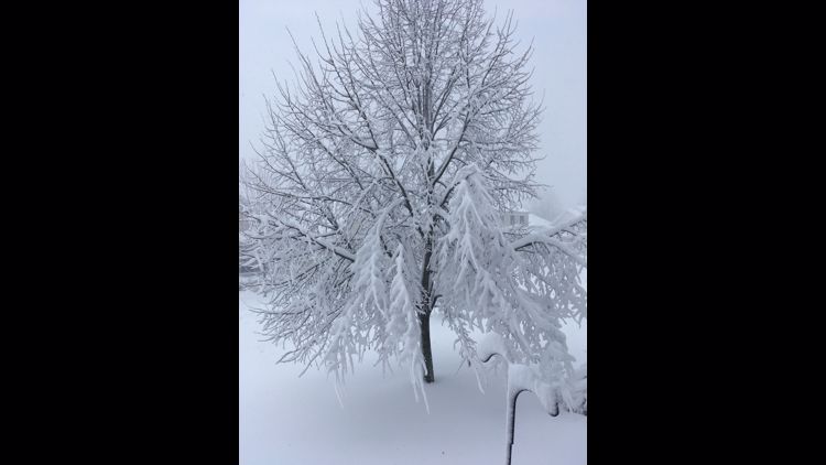
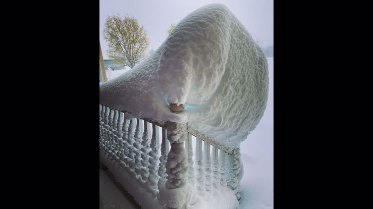
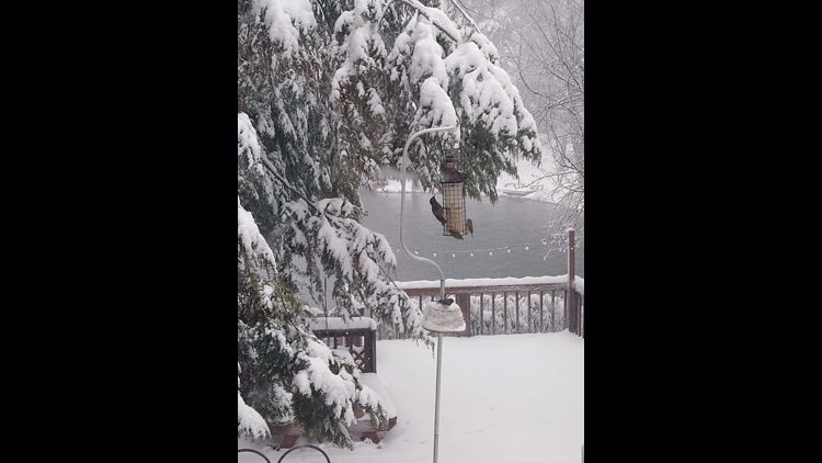
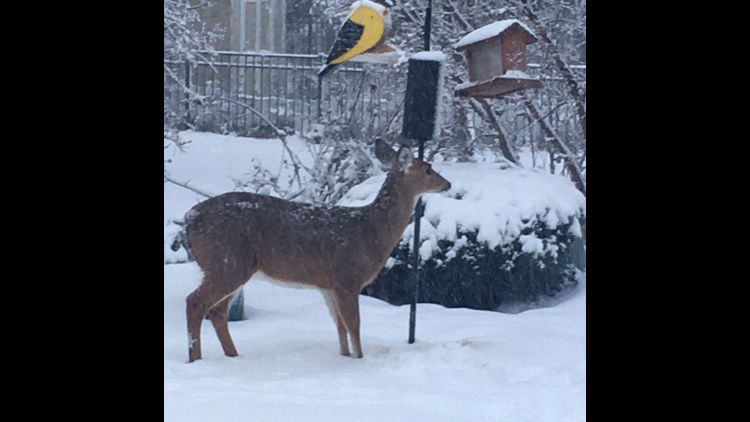
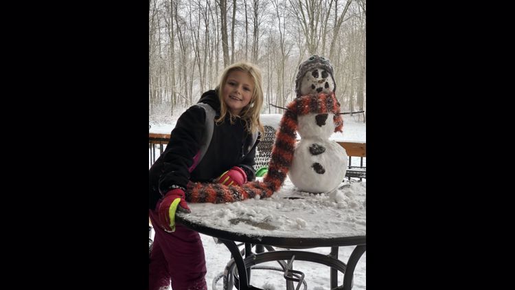
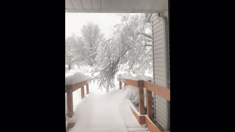
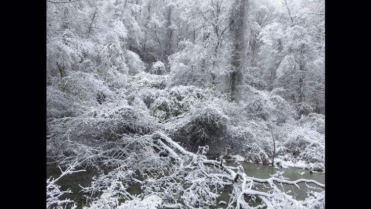
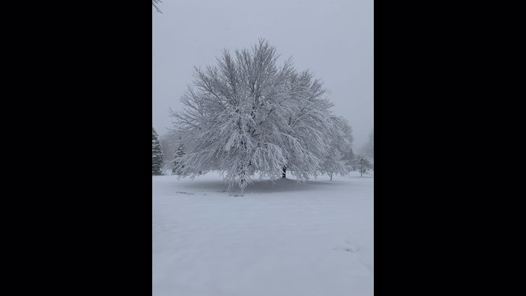
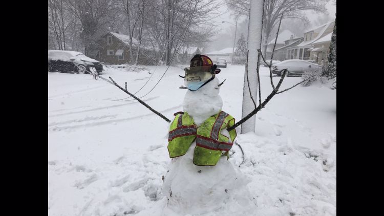
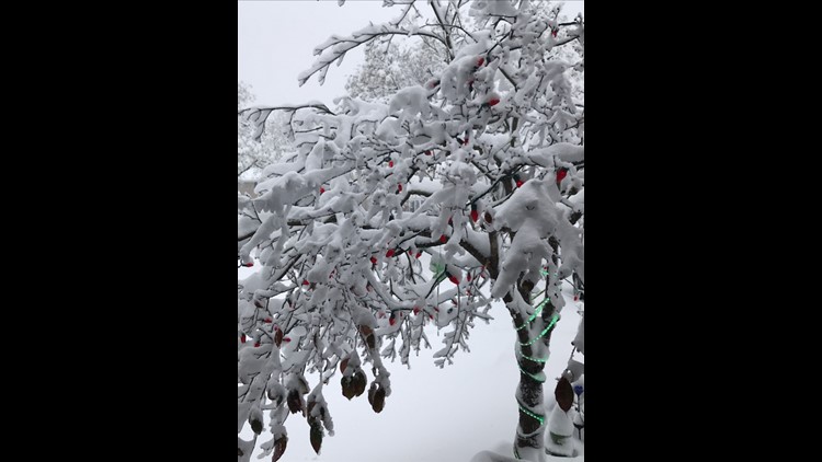
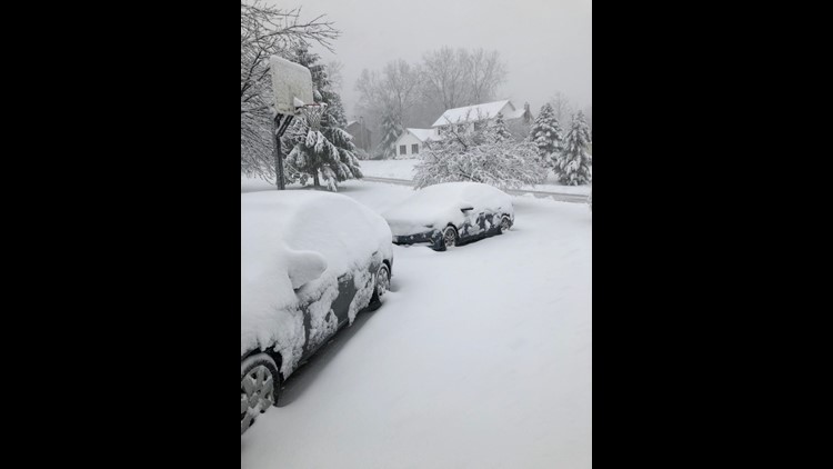
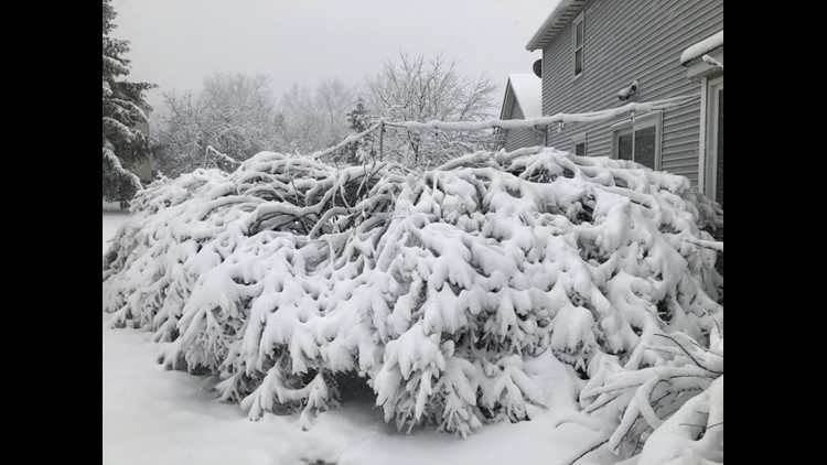
6:25 a.m. It may be a pain to drive in, but at least the pictures are pretty. Here are some viewer-submitted photos of the snow throughout Northeast Ohio. Have a picture? You can text it to us at 216-344-3300 or upload them through the free WKYC app.
PHOTOS | Winter storm hits Northeast Ohio: December 1, 2020
6:23 a.m. A look at the roads from ODOT in Youngstown:
6:18 a.m. All six branches of the Lorain Public Library System have announced they will be closed today due to the inclement weather. Officials said they plan to reopen for regular business hours Wednesday.
6:11 a.m. When the hood comes out...
6:10 a.m. Thousands of people are currently without power throughout Northeast Ohio. Get the latest outage updates HERE.
6 a.m. The latest team coverage on traffic, radar, school closings and more:
5:52 a.m. A peek at the snowy conditions in Chesterland:
5:45 a.m. 3News' Austin Love checks in from the Brunswick area.
5:30 a.m. Morning everyone! Meteorologist Jason Frazer here. The transition to snow for everyone has completed. The snow will be sticking around throughout today.
This morning, depending on where you are you are seeing several inches or less than an inch on the ground. We have gotten unconfirmed reports of 5 inches near Elyria. The NWS will be checking with their storm spotters and by 7am, we should get an update on how much snow has fallen. We are expecting anywhere between another 2 - 8 more inches to fall today. The biggest snowfall is going to be in the Primary Snow Belt. Those of you closest to Lake Erie won't see as much accumulating snow.
Because this is a wet snow that is falling, we anticipate seeing some additional power outages and an uptick in fenders benders on the roads. If you don't have to go out, I wouldn't.
The other thing you will notice later this morning are the winds slowly picking up. I think most of NE Ohio especially along Lake Erie could see winds gusting up to 40 mph. That will certain impact visibilities. In some spots, I am expecting visibility to be reduced to less than a half of mile.
Parking bans are already in effect for places like Lorain and Canal Fulton. I expect more cities to implement this so that the plows can move that wet snow out of the way.
If your car is parked outside, don't forget to clear off the top of your car!
5:28 a.m. Akron Public Schools have announced they are CLOSED today. See the full iAlert school closing list HERE.
5:17 a.m. 3News' Austin Love shares some picturesque snow photos:
5:07 a.m. 3News' photographer, Sean Forester, shares video of the snow flying early this morning.
5:01 a.m. How are the road conditions? Here's a live look on the roadways:
Tracy in Berea shared this picture with us:
4:45 a.m. How long will this snow last? How much can you expect in your area? 3News' Hollie Strano has those details in her extended forecast:
4:30 a.m. Our early morning team coverage of the snow:
4:23 a.m. Chardon Fire is urging residents to stay home unless they absolutely must go out:
Here's a peek at how the lake effect snow is impacting the area:
4:10 a.m. Be careful out there!
4:08 a.m. Yep, it's snowing pretty good throughout Northeast Ohio right now. You can track the snow with our interactive radar HERE.

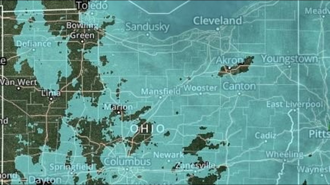
4:07 a.m. Is your school closed today? Check our list HERE.
3:44 a.m. A peek on the roads: Here's a view of I-77 at the Ohio Turnpike:

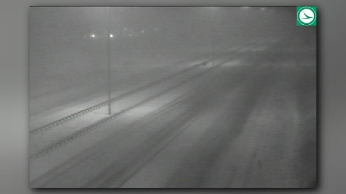
3:36 a.m. ODOT tweets a picture of snow-covered roadways on I-271 near Cleveland:
3:08 a.m. I-77 South reopens at Grant Street after it was previously closed due to a crash. The roadway, however, remains snow-covered:
3:02 a.m. 3News' Danielle Wiggins takes a peek at the roads to report slow conditions throughout Cuyahoga County due to the snow-covered and slick conditions:
2:30 a.m. 3News' Hollie Strano tweets about all the school closings that are coming in:
UPDATES FROM NOV. 30, 2020:
11:56 p.m. Huron County has joined Erie County as those at Level 1 status. A "Level 1" advisory indicates that "roadways are hazardous with blowing and drifting snow. Roads may also be icy. Motorists are urged to drive very cautiously."
11:41 p.m. Here's Betsy Kling extended forecast from What's Next to get you through the night. Remember her advice when it comes to winter storms: Focus on impact, not numbers. Stay safe.
11:39 p.m. Photojournalist Sean Forester is at the I-480/I-271/ U.S. 422 split in Bedford and captured this video of the roadways. Be safe out there if you have to drive!
11:05 p.m. Mark Naymik is out on the streets of Northeast Ohio this evening keeping an eye on the local roadways. He also spoke with Brian Kovacs, ODOT District 12 spokesman, about their preparations for the winter storm and also how they are keeping their crews COVID-19 safe.
11:00 p.m. Chief Meteorologist Betsy Kling kicked off Monday's edition of What's Next with a look at the current conditions around the area as the storm slowly makes its way into our area.
10:48 p.m. As conditions worsen, we're seeing some problems on the roadways, including an accident that has shut down part of I-77 south at Grant. Here are some words of wisdom from Betsy Kling:
10:39 p.m. Here's an update from the Ohio Department of Transportation (ODOT) on the conditions of the roadways statewide.
10:34 p.m. The Erie County Sheriff's Office has issued a Level 1 Winter Weather Road Condition Advisory. A "Level 1" advisory indicates that "roadways are hazardous with blowing and drifting snow. Roads may also be icy. Motorists are urged to drive very cautiously."
10:30 p.m. Here is our updated list of snow parking bans. We anticipate more communities will issue them once the snow accumulates.
10:02 p.m. Cleveland Public Power is reporting an outage on the city's east side.
9:54 p.m. ODOT tweets a series of pictures of their plows battling the snowy streets throughout Northwest Ohio:
9:42 p.m. Matt Standridge has a look at the progress of the storm on radar. Most of Northeast Ohio has now fully switched over from rain or mix to snow.
9:05 p.m. Betsy Kling takes a look at some of the road conditions on I-71 between Strongsville and Brunswick as rain changes over to snow.
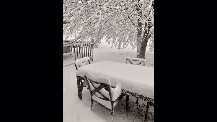
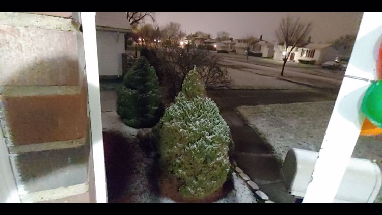
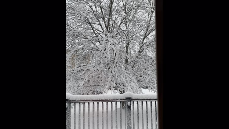
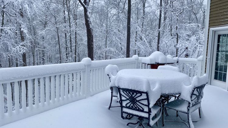
8:20 p.m. Viewer Danielle from West Salem sent us this picture of her patio covered with snow this evening. As a reminder, send us your snow pictures via text to 216-344-3300. Or you can use the hashtag #3Weather and tweet them to us @wkyc.
8:05 p.m. Meteorologist Matt Wintz is giving us a special Facebook Live winter storm update. Click here for the latest.
7:57 p.m. So many things are different this year, including how schools handle closings due to weather. With so many students learning virtually, are snow days still a thing? Our Brandon Simmons reached out to some districts around Northeast Ohio to find out.
7:38 p.m. The first snow parking ban has come in from a Northeast Ohio community. Starting at midnight, a city-wide emergency snow ban will be in place in Lorain. The snow ban will be in place until further notice.
7:27 p.m. As "The Chief," Betsy Kling notes in her tweet, iAlert school closings are starting to come in for tomorrow! While many schools will hold classes online, hybrid districts and districts with teachers in the buildings could be impacted. Make sure you follow our iAlert school closings list here.
7:20 p.m. Meteorologist Matt Wintz shared this video of the conditions at Snow Trails in Mansfield as the storm moves its way to the northeast.
Monday - 7:09 p.m. The Winter Storm Warning for many parts of Northeast Ohio is now in effect. Here's what our 3News weather team is calling for as of now:
QUICK RUNDOWN (more details below)
- Precipitation: Rain to snow Monday afternoon, snow through Wednesday morning
- Amount: 5-9+ inches within 30 miles of Lake Erie, 2-6 inches south
- Impact: Heavy wet snow and windy 20-25 MPH (gusts near 40 MPH), travel will be hazardous
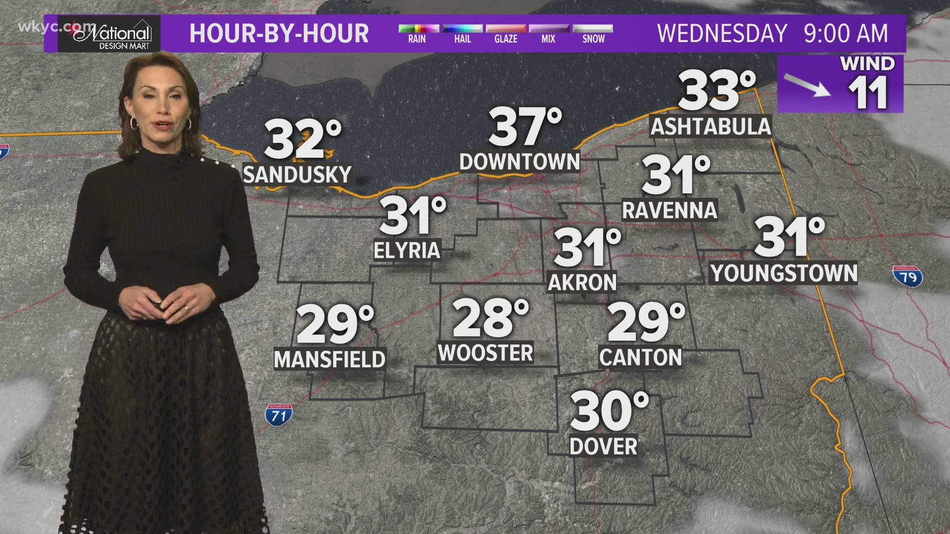
Temperatures will drop all Monday as colder air moves in from the west. Rain will change over to snow slowly from west to east as a result. Erie, Huron and Richland counties will likely be the first to see snow as they'll receive the cold air first.
All of Northeast Ohio will switch to a heavy, wet snow Monday night. As winds shift more northerly, snow bands will be lake-enhanced, causing intense rounds of snow at times. Everyone will receive accumulating snow Monday night into Tuesday.
Snow will continue to be widespread on Tuesday. By Tuesday afternoon, our winter storm will change from widespread system snow to lake-effect snow, impacting both the primary and secondary snow belts, mainly east of I-77. A few lingering flurries will be possible early Wednesday morning.

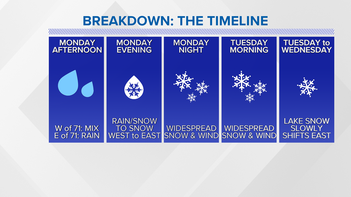
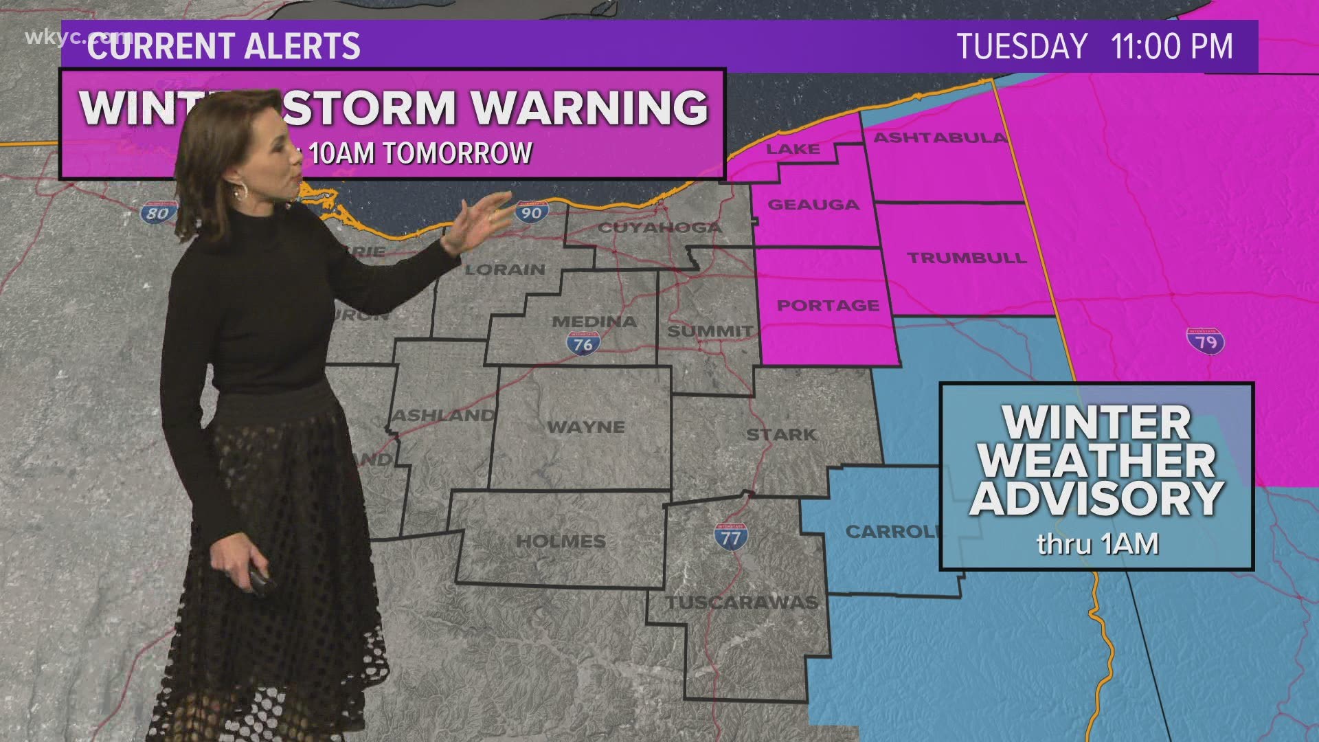
WINTER STORM WARNING: In effect from 7 p.m. Monday until 10 a.m. Wednesday. These areas can expect to see 5-9+ inches of snow. “Travel could be very difficult to impossible,” according to the National Weather Service:
- Ashtabula
- Cuyahoga
- Erie
- Geauga
- Huron
- Lake
- Lorain
- Medina
- Portage
- Summit
- Trumbull
WINTER WEATHER ADVISORY: In effect from 7 p.m. Monday until 1 a.m. Wednesday:
- Ashland
- Holmes
- Mahoning
- Richland
- Stark
- Wayne
WINTER WEATHER ADVISORY: In effect from 7 p.m. Monday until 7 a.m. Wednesday:
- Carroll
- Columbiana
- Coshocton
- Tuscarawas
WINTER WEATHER ADVISORY: In effect now through 1 p.m. Tuesday:
- Ottawa
- Sandusky
- Seneca

