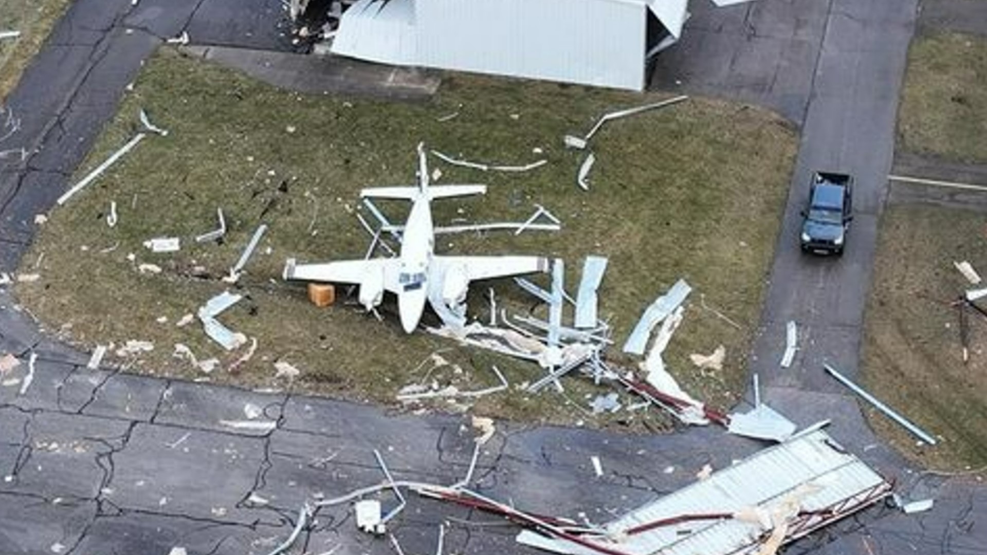
COLUMBUS, Ohio — At least five tornadoes touched down in Ohio, three of which hit Franklin County early Wednesday morning.
The National Weather Service confirmed an unrated tornado hit Riverside in Montgomery and Greene counties. An EF2 tornado was confirmed near Springfield in Clark County.
Governor Mike DeWine visited the community in Springfield to survey the damage the storm left behind.
Resident Shojiu Otani said the tornado hit around 5 a.m. He and his family all took cover under a blanket, including their dog.
"The whole entire roof was gone and the ceiling came down on us,” Otani said.
Homes in Hilliard sustained damage from an EF1 tornado just north of Roberts Road. Another EF1 tornado touched down in Madison County.
Madison County Sgt. Travis Schenck found himself in the wrong place at the right time and ended up driving right into the tornado.
“It picked my car up a couple of different directions at a couple different times, the car got very light at one point I thought it was gonna roll over. My tires spun a couple of times. Somehow I managed to make my way through and get to the other side,” he said.
He was able to make it out on the other side but said it was one of the more terrifying incidents of his career.
Another EF2 tornado formed in Blacklick and traveled into Jersey, a small town in Licking County.
The storm destroyed the home of local pastor Philip Bassham who lives in Jefferson Township. He was on his way to an early morning Bible study as the storm was approaching. He said his friend called him to tell him they should cancel. Bassham turned around and got back to his home just in time.
Within a matter of minutes of returning home, the storm tore apart his home. Luckily he and his family were able to make it to the basement and were unharmed.


Residents in Pataskala are also picking up the pieces after the tornado caused damage to many homes in the area. Jeff DeBord described what it felt like when the storm passed through.
“A freight train. The house shook and it just felt like you were going to come apart. It was bad," said
NWS said it will release details such as wind speed and the strength of the tornado at a later time.
As many as 10,000 AEP Ohio customers were without power at the peak of the storms.
A home on Westwind Road and Whirlwind Drive near Hilliard Rome Road sustained heavy damage from the storms. Debris is scattered on the left side of one of the houses and pieces of the house fell on the house.


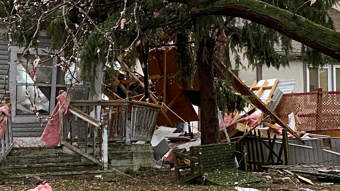
In Canal Winchester, a tree fell over on a home — heavily damaging the roof and part of the home's structure.

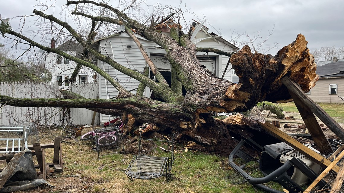

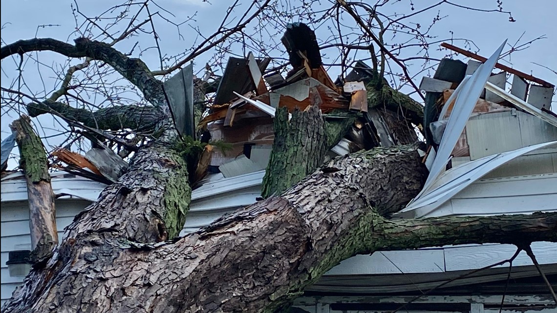
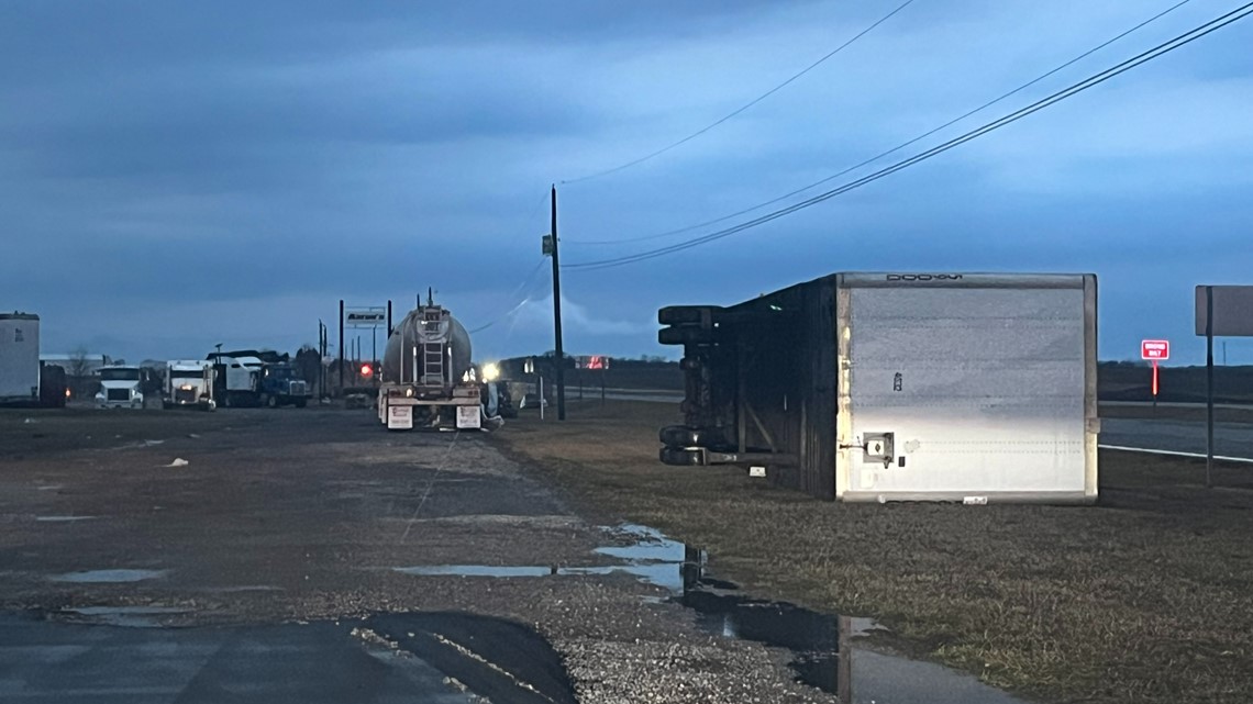
In Madison County, houses were heavily damaged and trucks were flipped over likely due to the strong winds.



Thursday will be colder and dry, with moderate temperatures and a pleasant first weekend of March forecast.
Doppler 10 Weather Resources
___
DOPPLER 10 SEVERE WEATHER SAFETY GUIDE
DIFFERENCES BETWEEN WATCHES & WARNINGS
Watch
A Watch indicates the possibility of severe weather in a relatively broad area. For instance, a tornado watch means conditions are favorable for the development of tornadoes. Go about your normal routines, but watch for threatening weather.
Warning
A Warning is issued when severe weather is actually occurring. For instance, a tornado warning means a tornado has actually been sighted or has been indicated by radar. The warning usually encompasses a relatively small geographic area. If a warning is issued for the area in which you live, take cover immediately!
TORNADOES AREN'T THE ONLY REASON TO STAY ALERT
Strong Winds
Strong winds of 55 mph or more can cause significant damage even though no tornado is present. "Downbursts" are columns of air that slam to the earth and spread high winds in many directions. Downbursts can be just as damaging as tornadoes; if such conditions are present, take the same precautions as you would for a tornado.
Lightning
Lightning claims more lives every year than tornadoes. When lightning is a threat, stay indoors and don't use electrical appliances. If you're caught outside, keep a safe distance from tall objects, and try to stay lower than anything nearby. A safe distance from a tree is twice its height.
TAKING COVER
Storms producing tornadoes in Ohio often approach from the southwest. They can travel at speeds up to 70 miles per hour and contain winds estimated at over 200 miles per hour.
Sometimes an approaching tornado will sound like the roar of a train or airplane. If you see or hear a tornado, take cover immediately. Seek shelter inside, preferably below ground level. Do not waste time opening windows; tornado-force winds will "open" the windows well before the pressure difference can cause any structural damage. Above all, protect your head and lie flat.
At Home
Get away from windows, doors and outside walls. Go to the basement. If you have no basement, go to a first floor bathroom, closet or room at the center of the house. If possible, get under heavy furniture and cover your head with blankets or pillows.
At School
Go to the lowest floor or basement. Go to small interior rooms or hallways. Stay away from windows and avoid auditoriums, gyms and other areas with wide, free-span roofs.
In Public Buildings
Go immediately to the designated shelter area or to an interior hallway or small room on the lowest level. Stay away from windows. Do not use elevators. Do not go to your car.
During tornado drills or actual tornado warnings, remember to DUCK
D – Go DOWN to the lowest level, stay away from windows
U – Get UNDER something (such as a basement staircase or heavy table or desk)
C – COVER your head
K – KEEP in shelter until the storm has passed

