CLEVELAND — We're looking at a big lake-effect snow event for the rest of this week and into next week, but what does the setup need to be for lake-effect snow to happen?
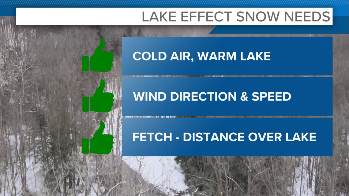
There are a few major criteria for a good lake-effect set up, and we're checking all of the boxes with this event.
1. Cold air, warm lake
There needs to be a rather large temperature difference between the lake and the air moving over it. Specifically, a difference of over 13 degrees Celsius (about 23 degrees Fahrenheit) is ideal for a significant event. We will definitely have that much of a contrast as air in the 20s moves over the lake that has temperatures in the low 50s near Cleveland.
When that super cold air from Canada swoops down over the warm lake water, things get interesting.
The cold air is like a sponge — it's dry and looking to soak up moisture. As it passes over the lake, the warmer water heats the air right above it, and the lake adds a ton of water vapor (basically, moisture) into that air. Think of it like steam rising from a hot cup of cocoa.
2. Wind setup
Wind direction needs to be consistent throughout the atmosphere to get an effective setup. Here's the thing about lake-effect snow: It doesn't just dump snow all around the lake; it depends on the wind direction.
If the wind is blowing from the west or northwest (which is pretty common in winter), it pushes the snow straight toward cities east of Cleveland, like our primary snow belt and further east towards Buffalo or Erie. That's why some areas get buried in snow, while places just a little farther away barely see any flakes.
There needs to be a more northwest wind for Cleveland and the secondary snowbelt to get in on the action.
The wind speed also matters. Winds between 10-45 mph will lead to the best snow potential. The stronger the wind, the further inland the snow will push.
3. Fetch (lake interaction)
The cold air also needs adequate time over the lake to be able to pick up enough moisture. The distance air will travel over the lake is called the fetch.
The fetch typically needs to be at least 62 miles for a good event. With a mainly westerly wind, the fetch over Lake Erie will be about 100 miles. That means the air will be able to pick up A LOT of moisture.


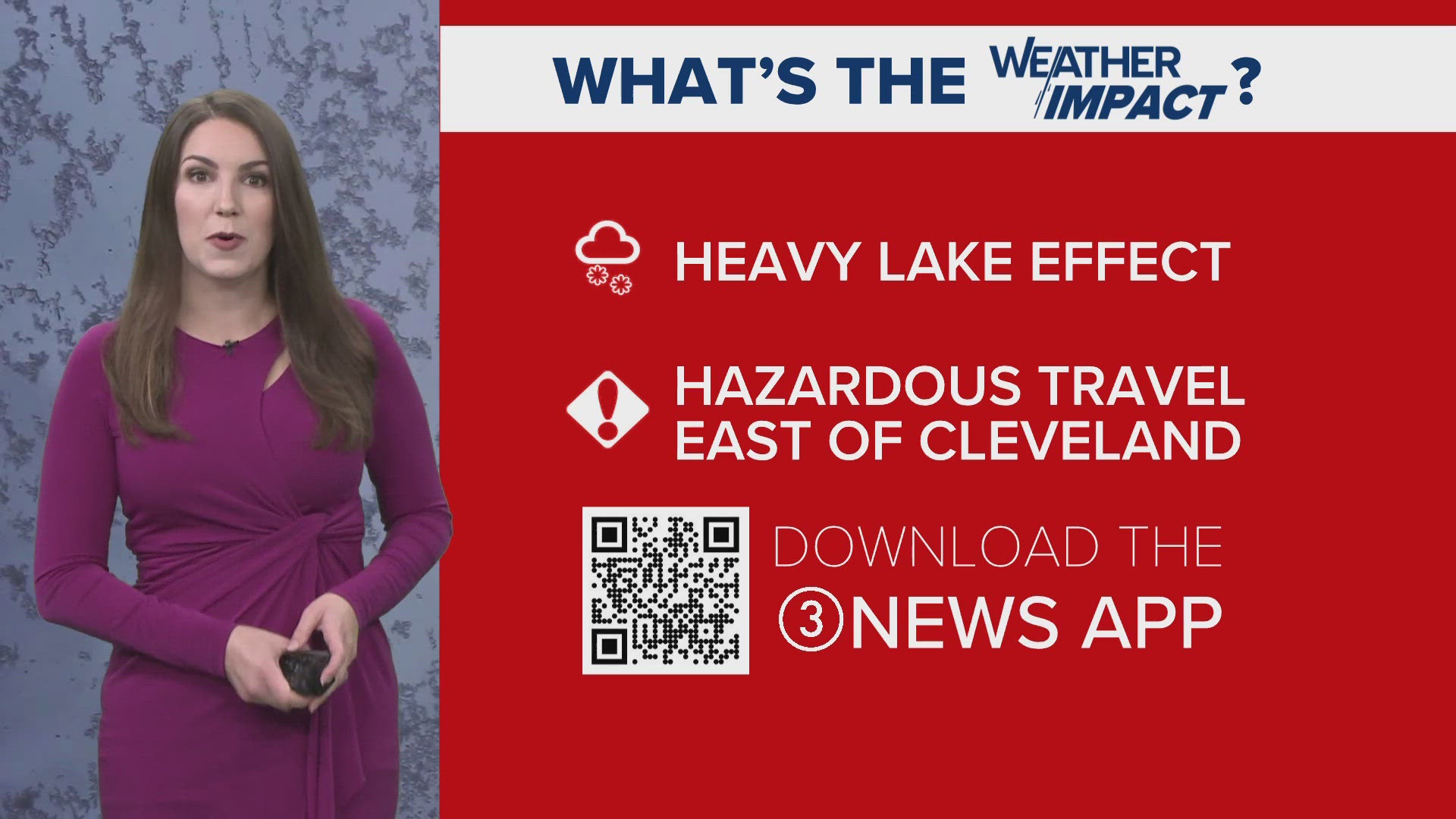
All of these ingredients play a role in producing these big lake effect events that happen around the Great Lakes this time of year. The setup for Friday through early next week will check all of these "boxes" and had the potential to produce some big snow totals, especially for our primary snow belt and further east. Lake-effect snow is most common from November to February. It's more likely to be heavy earlier in the season when the lake is still very warm and there is more likely to be a large temperature gradient. If the lake cools enough to freeze over, that basically cuts off the potential for any additional lake effect to develop.

