CLEVELAND — If you've ever wondered how meteorologists predict how much snow will fall, you're not alone!
Forecasting snowfall accumulation is a complex process that involves several key factors. Here's a breakdown of what goes into making those snow predictions, and how you can better understand them.
1. Temperature and humidity
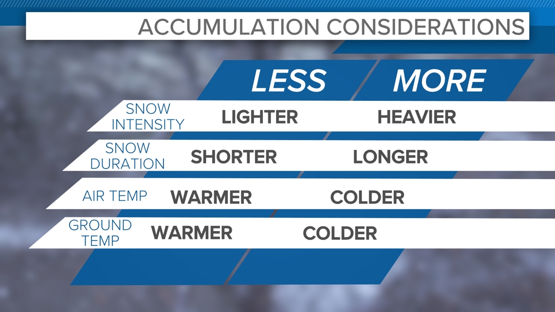
- The Temperature: The air temperature plays a huge role in determining how much snow will accumulate. If the temperature is around 32°F (0°C), snow is most likely to fall. Above that, snow might turn into rain, and below that, it could become sleet or freezing rain. Ground temperatures also need to be factored in because snow can melt on impact with surfaces above freezing. Above freezing surfaces can also mean melting while new snow is falling, making accumulation more difficult.
- Humidity: Moisture in the air, or humidity, is also crucial. More moisture in the atmosphere means heavier snowfalls. Meteorologists look for air that’s saturated with moisture, as this increases the chance of significant snowfall.
2. Snow-to-water ratio
- Snow doesn't just fall as pure snowflakes; it has a snow-to-water ratio that can change based on temperature. A dry snow (when it's colder, like below 25°F or -4°C) has a lower water content and takes up more space. In this case, the ratio can be about 15:1 (meaning 15 inches of snow for every 1 inch of liquid water).
- Wet snow (when temperatures are closer to freezing) has higher moisture content and weighs more. The ratio could be around 10:1 or even 8:1, meaning that it doesn't take as much snow to produce an inch of liquid water.
3. Atmospheric pressure systems
- Low-pressure systems are responsible for much of the snow we get. These systems draw in moist air from the surrounding areas and bring it into colder regions, where it can freeze into snow.
- Forecasters track these systems using satellite data and weather radar. If a low-pressure system is approaching, it's likely to bring snow. The track of the system (whether it's moving north, south, east, or west) determines how much snow a specific area will get.
4. Storm duration and speed
- How long the storm lasts and how fast it moves are also important. A storm that moves slowly will drop more snow, whereas a fast-moving storm may not accumulate as much. The longer snow falls, the more likely it is to pile up.
- Forecasters use radar to track the storm's movement and estimate how much snow will fall over time.
5. Topography and elevation
- Mountains and hills can make snow accumulation forecasts trickier. Areas at higher elevations tend to see more snow, and sometimes the geography can cause snow to accumulate faster in certain places.
- Forecasters consider terrain and adjust their predictions based on whether the storm will hit mountainous regions or flatter plains.
6. Forecast models
- Meteorologists use computer models to make predictions about snowfall. These models simulate how air pressure, temperature, and moisture will behave during a storm. By running these simulations, they can get an estimate of snowfall accumulation for different areas.
- These models are constantly updated with new data, so snow predictions can change, especially in the lead-up to a storm. That's why snowfall predictions may be different a few days out compared to the day before the storm.
7. Historical data and local experience
- Local knowledge can also play a role. Weather stations track past storms in specific areas, helping meteorologists understand local patterns. If an area usually gets more snow when certain conditions align, meteorologists can use that history to refine their forecast.
- This is why some areas have a better sense of how much snow they're going to get — because meteorologists know what tends to happen based on past weather.
8. A note about lake-effect snow
- Lake-effect snow occurs when cold air moves over a warmer body of water, picking up moisture and then dropping it as snow when it hits land. The amount of snow that falls, however, is influenced by a number of factors, and one of the biggest is elevation.
- When you add elevation to the mix, the results can be dramatic. Higher elevations tend to get more snow from lake effect because the air cools as it rises. As cold air flows over a body of water like the Great Lakes, it picks up moisture. But when the air reaches higher elevations, the temperature drops even more, causing that moisture to freeze and fall as snow. This means that areas at higher elevations, like hills or mountains near lakes, can experience more persistent and heavier snowfalls than places not favored by wind direction or proximity to the lake.
- Additionally, lakes can enhance snow that is falling from a storm system, so you could have snow from the storms system that can be enhanced by the lake effect.
Don't focus on the numbers; focus on the impacts.
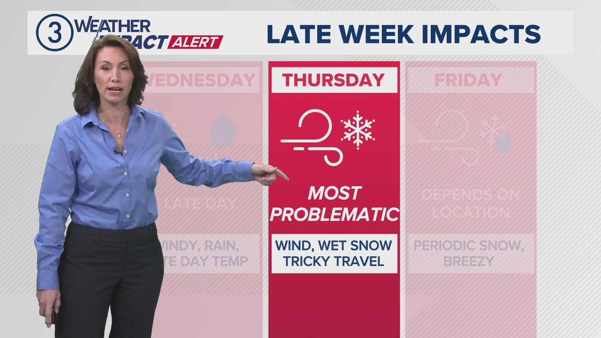
- It doesn't always take a lot of snow to make a big impact to the roads. Timing, location, intensity, and duration all play into how impactful snow (even in small amounts) can be.
Understanding how meteorologists predict snowfall can give you a clearer picture of what's to come during a storm. Whether you're excited for a snow day or planning to shovel, knowing these factors helps you make sense of those forecasts!


