CLEVELAND — As this week's winter storm approaches, 3News chief meteorologist Betsy Kling has one word to describe what's ahead: Dayum!
RELATED: More weather news from WKYC
After some joking on Twitter, Kling unveiled the "Betsy Impact Index," to track the severity of this year's winter weather. The meter measures each storm from "dinger" to "dandy" to "doozy" to "dayum!" with this week's storm, which is scheduled to arrive on Wednesday qualifying as the latter.
"After a little ribbing on Twitter, I present the Betsy Impact Index," Betsy wrote on Twitter on Sunday. "Gonna be quite a doozy, many saying dayum! We go downhill Weds, Thursday will be BAD...impacts thru weekend for many. We have TWO DAYS to get ready. Not a matter of "IF" but "HOW MUCH & WHERE" based on track."
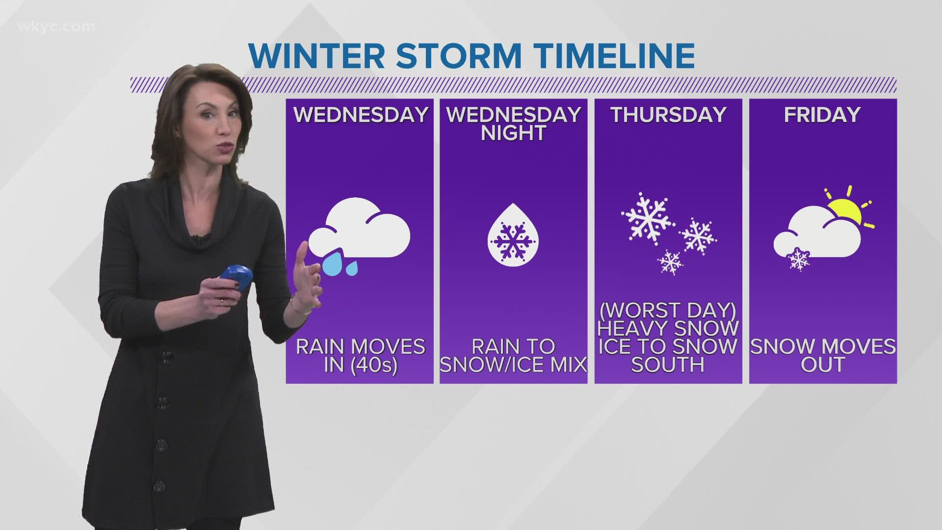
While rain will start on Tuesday, a weather drop on Wednesday will lead to rain and snow mix with some ice. The worst of it, however, will hit Thursday, with heavy snow everywhere and some potentially dangerous ice further south.
It's too early to know just how much snow will be arriving and how severe it will be. Other than, at this point, we know that it will be enough to make us say "dayum!"
More weather coverage:
- 'High-impact' storm set to hit Northeast Ohio this week
- After the blizzard, the big chill as East Coast digs out
- Blizzard hits East Coast with deep snow, winds, flooding
- Wind chill advisory for parts of Northeast Ohio to take effect early Saturday
- Cleveland area residents voice concerns over snow-covered sidewalks

