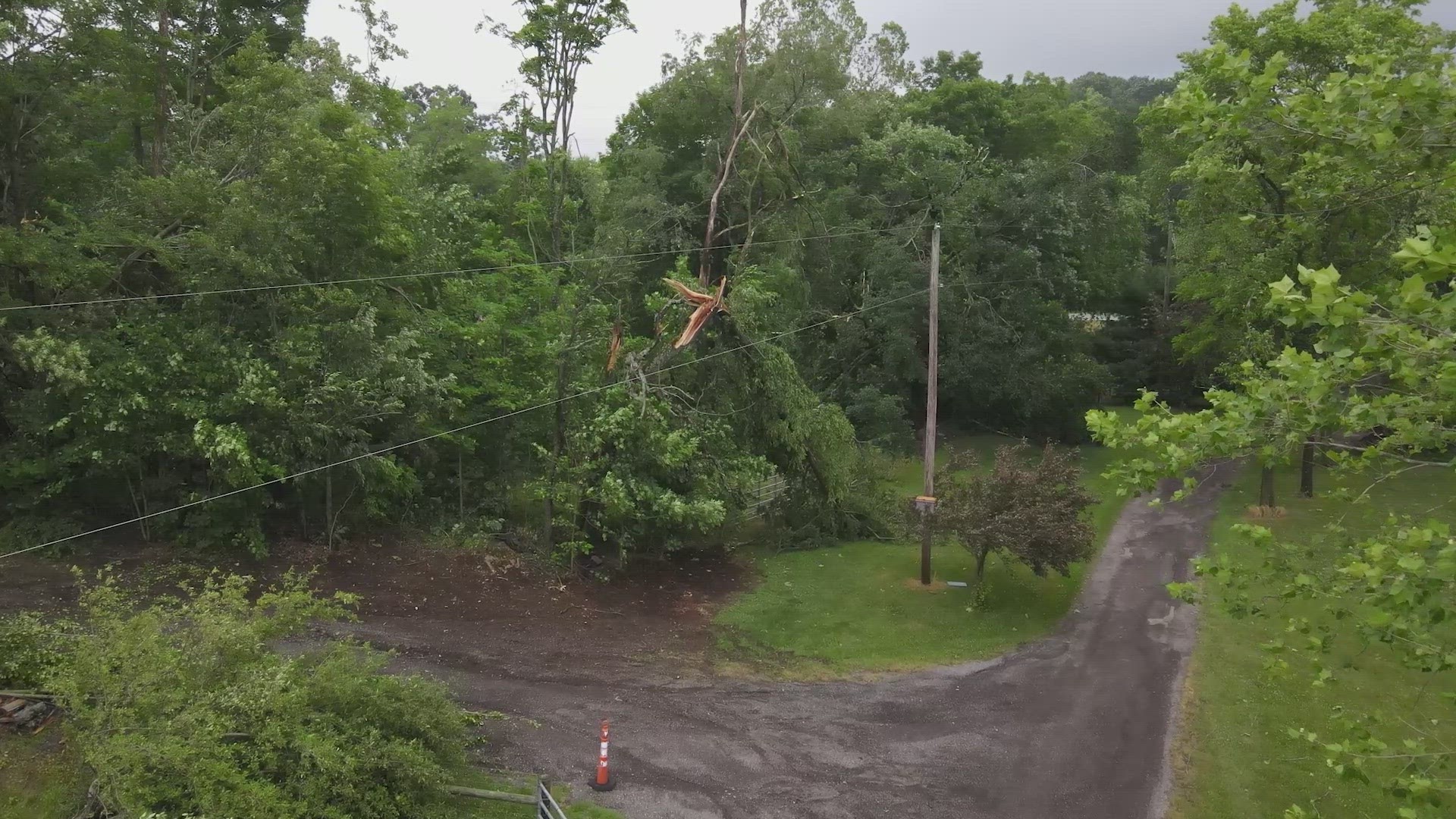
CLEVELAND — The National Weather Service has updated its report on last week's severe storms across Northern Ohio, stating that there were a total of 12 tornadoes that touched down in five different counties.
No injuries were reported as a result of the tornadoes. The NWS says hail between golf ball and tennis ball size also fell in many areas during the storms on June 15.
Here's the timeline of the storms that struck that evening:
6:06 p.m. - 6:16 p.m. Point Place near Toledo (Lucas County): An EF-2 that had estimated peak winds of 130 miles per hour. The tornado knocked down trees and power poles, before partially destroying the second flood of a medical lab building and blowing out windows of surrounding businesses. It then moved across the Point Place area where it produced widespread tree damage, including uprooted trees on houses, power lines, and vehicles.
6:20 p.m. - 6:28 p.m. Maumee Bay State Park (Lucas County): The NWS says after the Toledo tornado dissipated near Harbor View, a waterspout developed 0.8 mile north of South Shore Park over Maumee Bay. The waterspout tracked southeast just north of Maumee Bay Lodge and Conference Center and moved onshore as a tornado on the eastern part of the park. The EF-0 had estimated peak winds of 80 mph.
6:49 p.m. - 6:58 p.m. Oak Harbor (Ottawa County): The EF-2 tornado had estimated peak winds of 130 miles per hour. damaging five homes. A few of the houses lost roofs. The tornado also destroyed seven barns and up to ten cattle fatalities were reported.


6:57 p.m. - 6:58 p.m. Rice Township (Sandusky County): An EF-1 tornado with estimated peak winds of 95 miles per hour briefly touched down near the intersection of Township Road 153 and Township Road 146 in Rice Township. The tornado tracked southeast and blew down seven trees, two of which fell onto a house. The tornado lifted just southeast of the house.
7:20 p.m. - 7:21 p.m. Vickery (Sandusky County): An EF-0 tornado briefly touched down along County Road 247 partially destroying a metal roof of a building. The tornado tracked east-southeast across Schertz Ditch and continued into a tree line. Metal roofing was thrown into a field and shingles from a home were thrown back toward the west.


7:40 p.m. - 7:42 p.m. Bellevue (Sandusky County): The EF-0 tornado began on Parkview Place in northern Bellevue, knocking over several power poles. It tracked southeast into Robert Peters Park where several large branches were snapped off the tops of several trees. It continued to Kilbourne Street where it damaged more trees before dissipating.
7:47 p.m. - 8:04 p.m. Peru Township (Huron County): The EF-2 tornado had estimated peak winds of 115 miles per hour. The most significant damage from this tornado occurred in the vicinity of Snyder Road and Peru Center Road. Several residences were heavily damaged from higher end EF-1 to lower end EF-2 tornado wind speeds. A piece of slate roofing was lifted off a building north of Snyder Road and impaled a tree to the southeast. An outbuilding was completely destroyed and material from this structure was lofted a quarter of a mile southeast into a residence before eventually settling into a tree line. In this area, about 10 buildings total sustained damage. One residence was shifted off its foundation. The tornado continued south across Peru Center Road toward Townline Road 131 and State Route 61, where additional tree damage and minor outbuilding damage was noted. As the tornado reached Hanville Corners Road and Townline Road 113, several outbuildings and silos were heavily damaged with twisted debris lofted in various directions.


7:50 p.m. - 7:53 p.m. Northeast Peru Township (Huron County): An EF-0 tornado began at the intersection of Hettle Rd and Terry Rd where it uprooted a pine tree and snapped several large branches. This tornado dissipated after crossing Peru Center Rd.
7:59 p.m. - 8:17 p.m. North Fairfield (Huron County): The EF-1 tornado began in the vicinity of New State Road and Townline Road 131, downing a deteriorating barn. As the tornado continued south, it lifted a large portion of a roof of an outbuilding and downed several trees on Hanville Corners Road. The tornado entered North Fairfield causing widespread tree and power line damage. Some roofing material was lifted off residences. A large sign was ripped off the facade of a building and severe utility poles were leaning along Main Street. The tornado continued south across Penn Road, where a large area of snapped and shredded trees fell with additional damage occurring to several barns and outbuildings. As the storm continued southeast toward Boughtonville and Edwards Road, several silos were heavily damaged, several roofs were displaced off outbuildings, and a second floor of a residence was heavily damaged. The tornado began to cycle down west of the Village of Greenwich, where minor damage to trees and power poles was noted.
8:03 p.m. - 8:04 p.m. East Greenfield Township (Huron County): A brief EF-0 tornado began on State Route 61 snapping a pine tree and causing additional tree damage as it tracked southeast.
8:18 p.m. - 8:24 p.m. Greenwich (Huron County): The EF-1 tornado started in the vicinity of Townline Road 12 and Edwards Road, where several softwood trees were snapped. The tornado hit a business causing damage to an office, several silos, an outbuilding, and some equipment. The tornado followed Townline Road 12 where additional damage to trees was noted, along with a clear path in a field. The tornado dissipated near State Route 13, northeast of Greenwich.
8:47 p.m. - 8:49 p.m. Nankin (Ashland County): An EF-0 tornado touched down between County Road 801 and State Route 58, northeast of Nankin, OH where several trees were uprooted with branches snapped. The tornado tracked southeast towards Township Road 713 where one residence had damage to a roof, chicken coop, and a barn that lost a portion of the roof. There was also an outbuilding that suffered damage with both a garage door and walls pushed our with insulation lofted into a field.


